| Ille | |
|---|---|
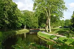 The Ille in Chevaigné near Rennes | |
  | |
| Location | |
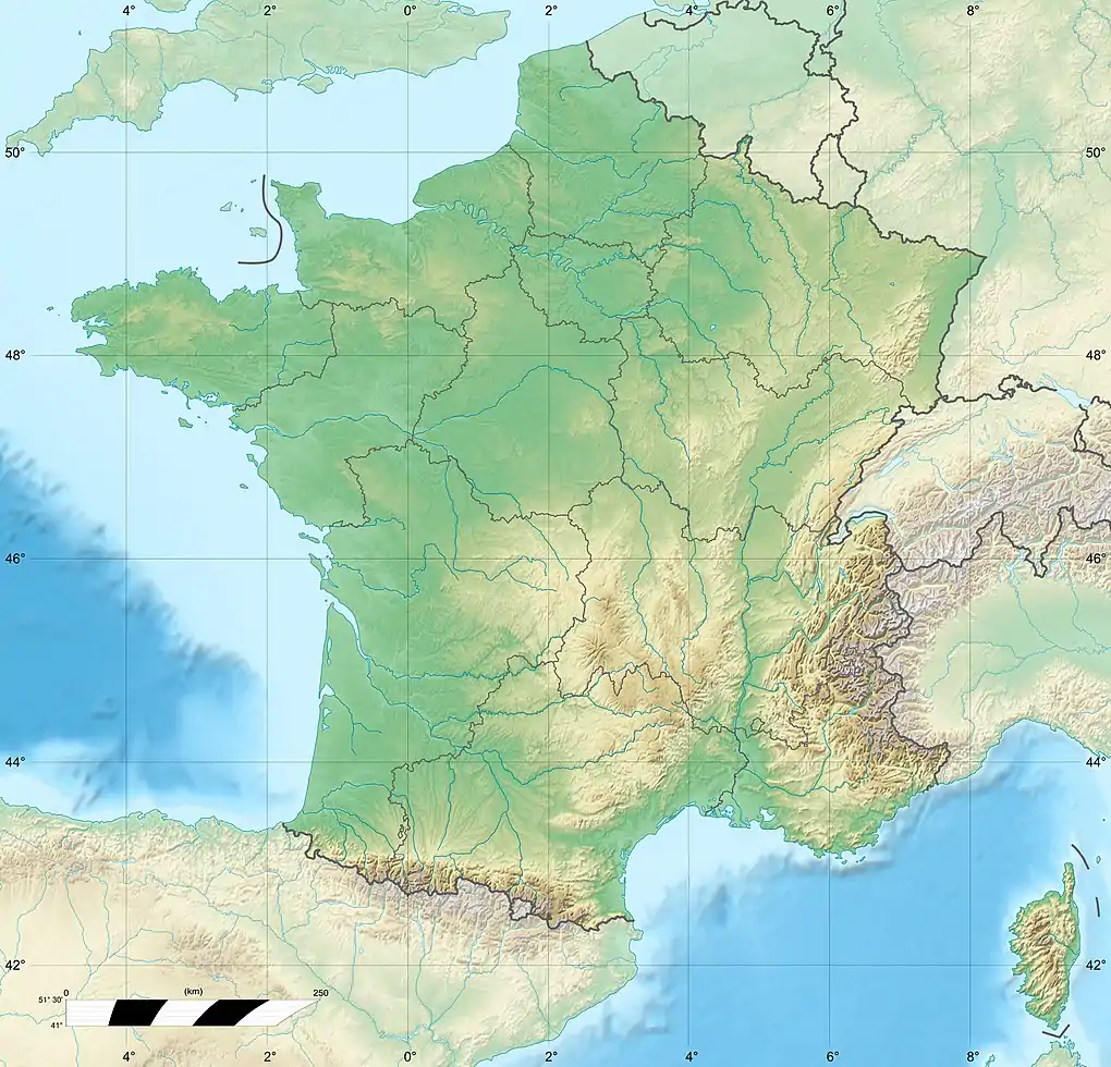
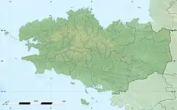
| Country | France |
| Physical characteristics | |
| Source | |
| • location | Near Dingé, Ille-et-Vilaine |
| Mouth | |
• location | Vilaine |
• coordinates | 48°6′27″N 1°41′50″W / 48.10750°N 1.69722°W |
| Length | 48.9 km (30.4 mi) |
| Basin features | |
| Progression | Vilaine→ Atlantic Ocean |
The Ille (French pronunciation: [il] ⓘ; Breton: Il) is a small river in Brittany, France, right tributary of the river Vilaine. It is 48.9 km (30.4 mi) long.[1] It flows into the Vilaine in the city Rennes.
The Ille is linked to the river Rance by the Canal d'Ille-et-Rance. By this canal, Rennes has a connection with the English Channel coast at St. Malo. The canal is used primarily for tourist boats.
The Ille flows through the department Ille-et-Vilaine and the following towns: Montreuil-sur-Ille, Betton and Rennes. From Montreuil to Rennes the river runs parallel to the Canal d'Ille-et-Rance.
References
This article is issued from Wikipedia. The text is licensed under Creative Commons - Attribution - Sharealike. Additional terms may apply for the media files.