Inongo Airport | |||||||||||
|---|---|---|---|---|---|---|---|---|---|---|---|
| Summary | |||||||||||
| Airport type | Public | ||||||||||
| Location | Inongo | ||||||||||
| Elevation AMSL | 1,040 ft / 317 m | ||||||||||
| Coordinates | 1°56′50″S 18°17′09″E / 1.94722°S 18.28583°E | ||||||||||
| Map | |||||||||||
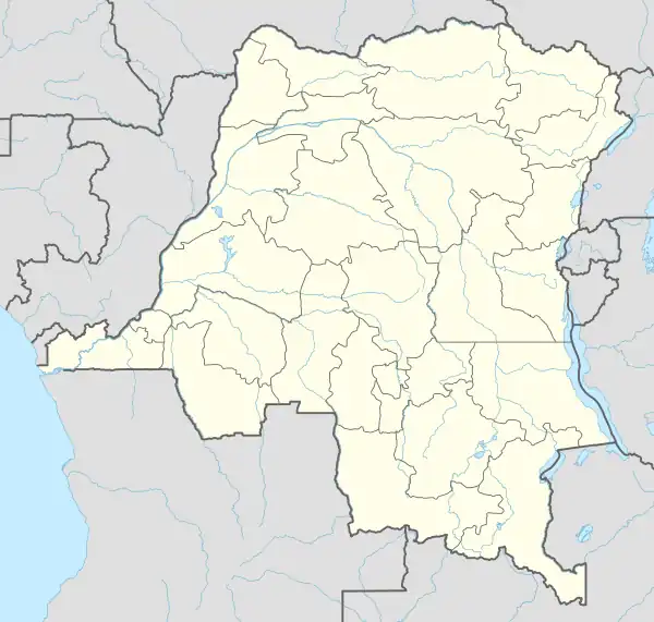 INO Location within DRC | |||||||||||
| Runways | |||||||||||
| |||||||||||
Inongo Airport (IATA: INO, ICAO: FZBA) is an airstrip serving Inongo, a city on the eastern shore of Lake Mai-Ndombe in Mai-Ndombe Province, Democratic Republic of Congo.
The Inongo non-directional beacon (Ident: INO) is 0.7 nautical miles (1.3 km) west-southwest of the airstrip.[3]
See also
References
- ↑ Airport information for Inongo Airport at Great Circle Mapper.
- ↑ Google Maps - Inongo
- ↑ "Inongo NDB (INO) @ OurAirports". ourairports.com. Retrieved 2018-08-20.
External links
This article is issued from Wikipedia. The text is licensed under Creative Commons - Attribution - Sharealike. Additional terms may apply for the media files.