Jadunathpur Union
যদুনাথপুর ইউনিয়ন | |
|---|---|
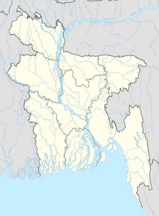 Jadunathpur Union Location of Jadunathpur Union in Bangladesh | |
| Coordinates: 24°40′44″N 89°56′59″E / 24.6789293°N 89.9497515°E | |
| Country | Bangladesh |
| Division | Dhaka Division |
| District | Tangail District |
| Upazila | Dhanbari Upazila |
| Established | 1984 |
| Government | |
| • Type | Union Council |
| • Chairman | Mir Firoz Ahmed (Bangladesh Awami League)[1] |
| Area | |
| • Total | 24.5 km2 (9.5 sq mi) |
| Elevation | 21 m (69 ft) |
| Population (2011) | |
| • Total | 30,392 |
| • Density | 1,200/km2 (3,200/sq mi) |
| Time zone | UTC+6 (BST) |
| Postal code | 1997 |
| Website | jadunathpurup |
Jadunathpur Union (Bengali: যদুনাথপুর ইউনিয়ন)[2] is a union of Dhanbari Upazila, Tangail District, Bangladesh. It is situated 61 kilometres (38 mi) north of Tangail.
Demographics
According to the 2011 Bangladesh census, Jadunathpur Union had 1,241 households and a population of 30,392. The literacy rate (age 7 and over) was 44.9% (male: 46.9%, female: 43%).[3]
See also
References
- ↑ ধনবাড়িতে আ.লীগ ৪, বিদ্রোহী ৩ জয়ী [In Dhanbari AL win 4, rebel 3]. Risingbd.com (in Bengali). 23 April 2016. Retrieved 2 October 2017.
- ↑ "Home". jadunathpurup.tangail.gov.bd.
- ↑ "Community Report: Tangail" (PDF). Population & Housing Census 2011. Bangladesh Bureau of Statistics. Archived from the original (PDF) on 2016-12-02. Retrieved 2017-06-18.
This article is issued from Wikipedia. The text is licensed under Creative Commons - Attribution - Sharealike. Additional terms may apply for the media files.