Jamnik | |
|---|---|
 | |
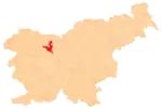
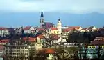
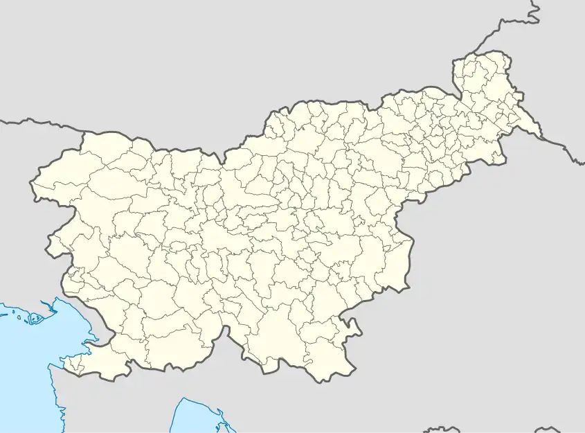 Jamnik Location in Slovenia | |
| Coordinates: 46°16′15.5″N 14°12′25.31″E / 46.270972°N 14.2070306°E | |
| Country | |
| Traditional region | Upper Carniola |
| Statistical region | Upper Carniola |
| Municipality | Kranj |
| Area | |
| • Total | 4.76 km2 (1.84 sq mi) |
| Elevation | 830.2 m (2,723.8 ft) |
| Population (2002) | |
| • Total | 42 |
| [1] | |
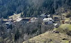
Jamnik (pronounced [ˈjaːmnik]) is a settlement on the eastern slopes of the Jelovica Plateau in the Municipality of Kranj in the Upper Carniola region of Slovenia.[2]
Church
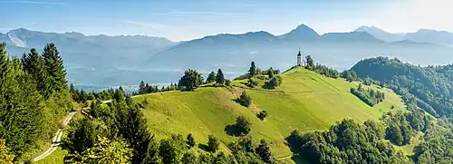
Saints Primus and Felician Church
The local church just outside the village, dedicated to Saints Primus and Felician, is built at an impressive location on a hill overlooking most of the northern part of the Ljubljana Basin with the Julian Alps as a backdrop towards the northwest and the Kamnik–Savinja Alps towards the east.[3]
References
External links
 Media related to Jamnik at Wikimedia Commons
- Jamnik on Geopedia
This article is issued from Wikipedia. The text is licensed under Creative Commons - Attribution - Sharealike. Additional terms may apply for the media files.