| Jamul Mountains | |
|---|---|
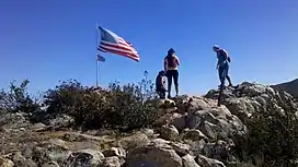 First peak on trail from Upper Otay Lake | |
| Highest point | |
| Elevation | 629 m (2,064 ft) |
| Geography | |
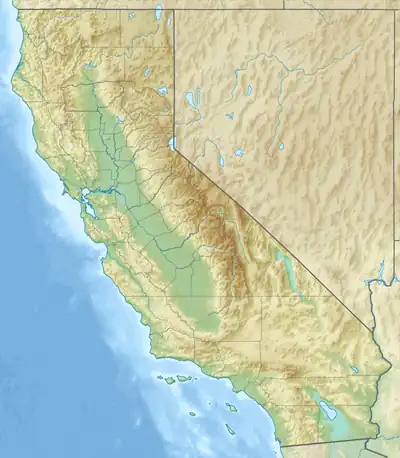 Location of Jamul Mountains in California[1] | |
| Country | United States |
| State | California |
| District | San Diego County |
| Range coordinates | 32°40′26.199″N 116°53′35.084″W / 32.67394417°N 116.89307889°W |
| Parent range | Peninsular Ranges |
| Topo map | USGS Jamul Mountains |
The Jamul Mountains are a mountain range of the Peninsular Ranges System.
They are located in southernmost San Diego County, Southern California.[1] The Mexico–United States border is nearby to the south.
There is a trail starting at Upper Otay Lake that leads over the western part of the range.
Gallery
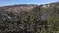 Highest peak of western part of the range
References
This article is issued from Wikipedia. The text is licensed under Creative Commons - Attribution - Sharealike. Additional terms may apply for the media files.