Jarba | |
|---|---|
| Arabic transcription(s) | |
| • Arabic | جربا |
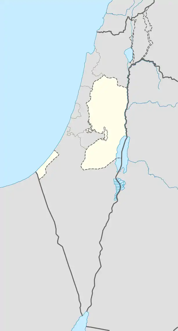  Jarba Location of Jarba within Palestine | |
| Coordinates: 32°23′08″N 35°15′22″E / 32.38556°N 35.25611°E | |
| Palestine grid | 174/199 |
| State | State of Palestine |
| Governorate | Jenin |
| Government | |
| • Type | Village council |
| Population (2017)[1] | |
| • Total | 63 |
| Name meaning | El Jŭrbah, the plantation[2] |
Jarba (Arabic: جربا) is a Palestinian village in the Jenin Governorate.
Nazlat Rahal
Just southwest of Jarba is Nazlat Rahal,[3] where Byzantine ceramics have been found.[4] SWP found at Kh. Haj Rah-hal: "traces of ruins."[5]
History
Pottery sherds from the Byzantine (10%), early Muslim (30%) and the Middle Ages (30%) have been found at Jarba.[6]
Ottoman era
Jarba, like all of Palestine, was incorporated into the Ottoman Empire in 1517. About 30% of the pottery sherds found in the village date back to this period.[6] In the 1596 Ottoman tax registers, it was located in the nahiya of Jabal Sami, part of Sanjak of Nablus. Jarba was listed as an entirely Muslim village with a population of 11 households and 2 bachelors. The inhabitants paid a fixed tax rate of 33,3% on agricultural products, including wheat, barley, summer crops, olive trees, and goats and/or beehives, in addition to occasional revenues and a tax on people from the Nablus area, a total of 1,500 akçe.[7]
In 1838 el-Jurba was noted as a village in the District of esh-Sha'rawiyeh esh-Shurkiyeh, the eastern part.[8][9]
In 1870, Victor Guérin noted it as a small village situated on a neighboring hill from Misilyah.[10]
In 1882 the PEF's Survey of Western Palestine (SWP) described Jurba as: "a small village on the side of a slope, with olives to the south."[11]
British Mandate era
In the 1922 census of Palestine, conducted by the British Mandate authorities, Jarba had a population of 31 Muslims,[12] increasing in the 1931 census to 65 Muslim, in a total of 17 houses.[13]
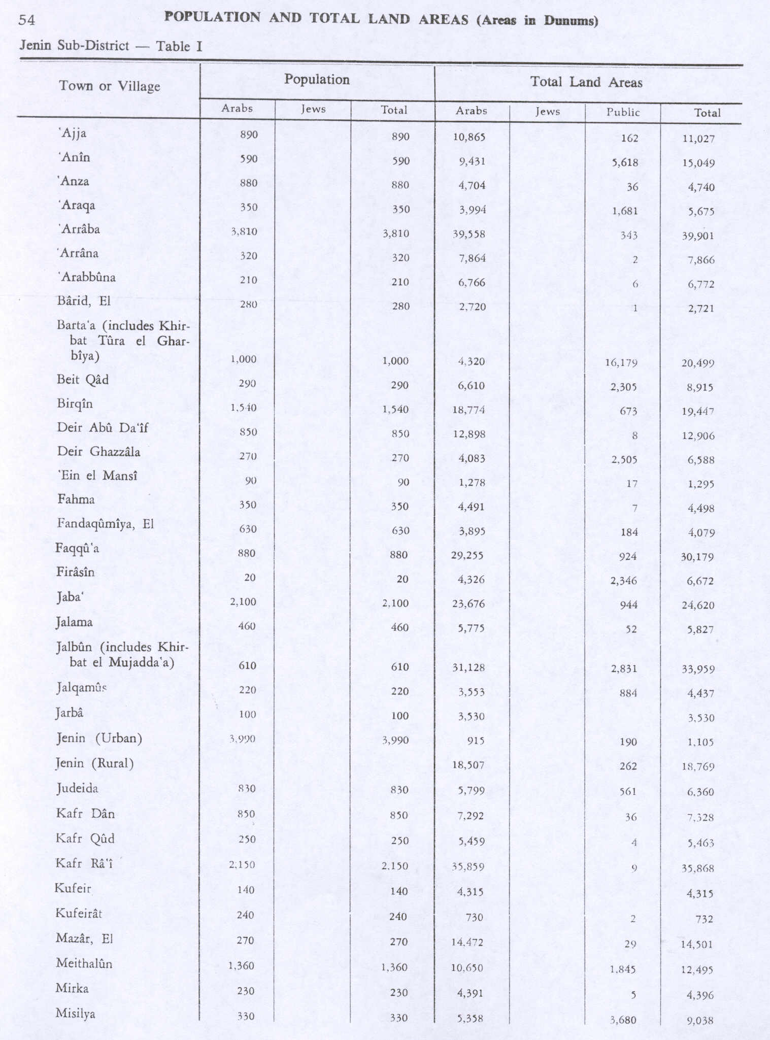
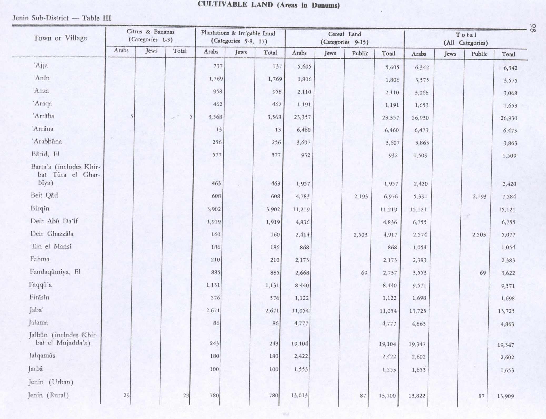
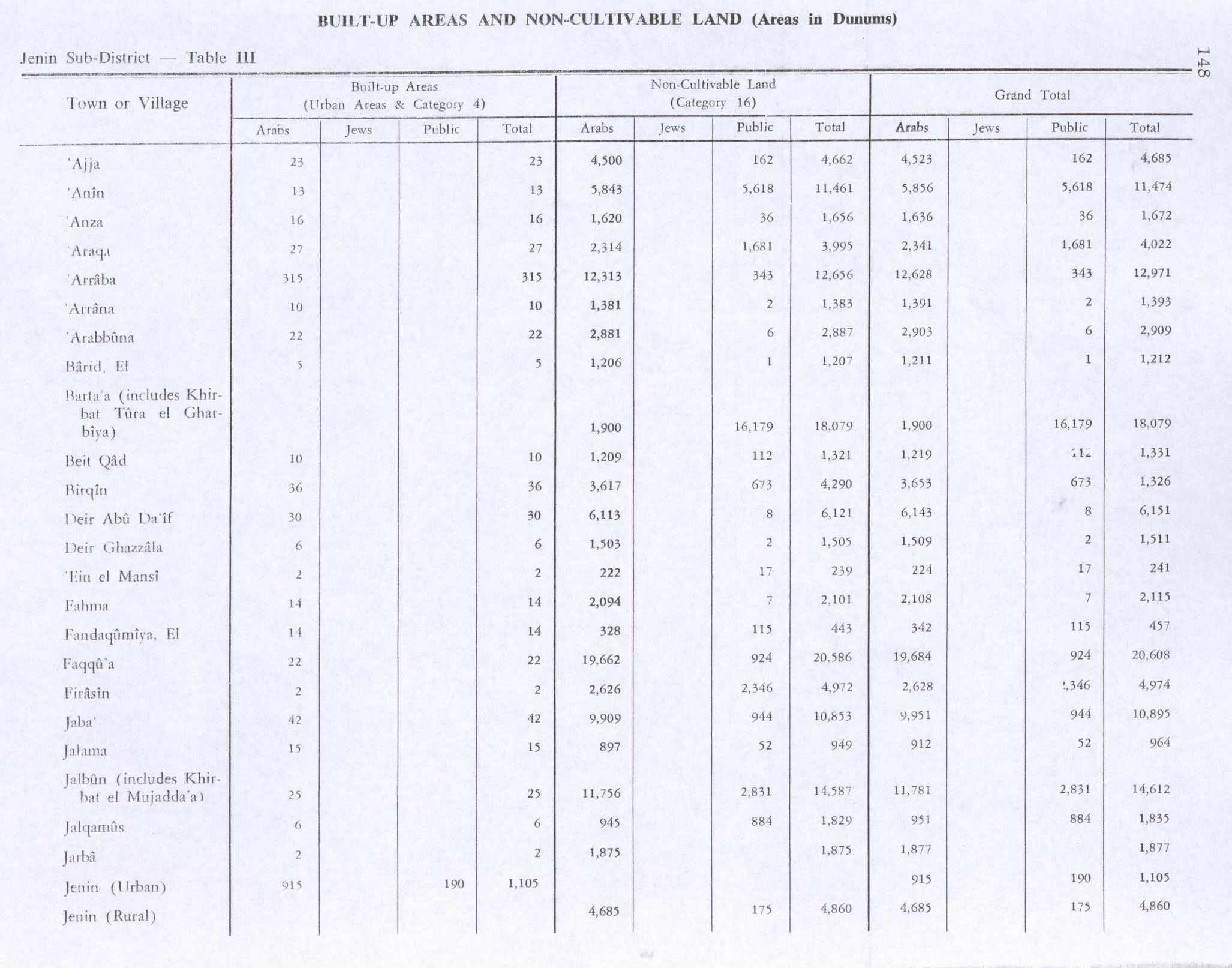
In the 1944/5 statistics the population was 100, all Muslims,[14] with 3,530 dunams of land, according to an official land and population survey.[15] 100 dunams were used for plantations and irrigable land, 1,553 for cereals,[16] while 2 dunams were built-up (urban) land.[17]
Jordanian era
In the wake of the 1948 Arab–Israeli War, and after the 1949 Armistice Agreements, Jarba came under Jordanian rule.
post-1967
Since the Six-Day War in 1967, Jarba has been under Israeli occupation.
References
- ↑ Preliminary Results of the Population, Housing and Establishments Census, 2017 (PDF). Palestinian Central Bureau of Statistics (PCBS) (Report). State of Palestine. February 2018. pp. 64–82. Retrieved 2023-10-24.
- ↑ Palmer, 1881, p. 183
- ↑ Kh. el Haj Rahhâl, the ruin of el Hâj (Pilgrim) Rahhâl; according to Palmer, 1881, p. 185
- ↑ Dauphin, 1998, p. 756
- ↑ Conder and Kitchener, 1882, SWP II, p. 156
- 1 2 Zertal, 2004, pp. 226- 227
- ↑ Hütteroth and Abdulfattah, 1977, p. 129
- ↑ Robinson and Smith, 1841, vol 3, p. 153
- ↑ Robinson and Smith, 1841, vol 3, 2nd appendix, p. 129
- ↑ Guérin, 1874, p. 344
- ↑ Conder and Kitchener, 1882, SWP II, p. 196
- ↑ Barron, 1923, Table IX, Sub-district of Jenin, p. 29
- ↑ Mills, 1932, p. 68
- ↑ Government of Palestine, Department of Statistics, 1945, p. 16 Archived 2018-09-05 at the Wayback Machine
- ↑ Government of Palestine, Department of Statistics. Village Statistics, April, 1945. Quoted in Hadawi, 1970, p. 54
- ↑ Government of Palestine, Department of Statistics. Village Statistics, April, 1945. Quoted in Hadawi, 1970, p. 98
- ↑ Government of Palestine, Department of Statistics. Village Statistics, April, 1945. Quoted in Hadawi, 1970, p. 148


Bibliography
- Barron, J.B., ed. (1923). Palestine: Report and General Abstracts of the Census of 1922. Government of Palestine.
- Conder, C.R.; Kitchener, H.H. (1882). The Survey of Western Palestine: Memoirs of the Topography, Orography, Hydrography, and Archaeology. Vol. 2. London: Committee of the Palestine Exploration Fund.
- Dauphin, C. (1998). La Palestine byzantine, Peuplement et Populations. BAR International Series 726 (in French). Vol. III : Catalogue. Oxford: Archeopress. ISBN 0-860549-05-4.
- Government of Palestine, Department of Statistics (1945). Village Statistics, April, 1945.
- Guérin, V. (1874). Description Géographique Historique et Archéologique de la Palestine (in French). Vol. 2: Samarie, pt. 1. Paris: L'Imprimerie Nationale.
- Hadawi, S. (1970). Village Statistics of 1945: A Classification of Land and Area ownership in Palestine. Palestine Liberation Organization Research Center.
- Hütteroth, Wolf-Dieter; Abdulfattah, Kamal (1977). Historical Geography of Palestine, Transjordan and Southern Syria in the Late 16th Century. Erlanger Geographische Arbeiten, Sonderband 5. Erlangen, Germany: Vorstand der Fränkischen Geographischen Gesellschaft. ISBN 3-920405-41-2.
- Palmer, E.H. (1881). The Survey of Western Palestine: Arabic and English Name Lists Collected During the Survey by Lieutenants Conder and Kitchener, R. E. Transliterated and Explained by E.H. Palmer. Committee of the Palestine Exploration Fund.
- Robinson, E.; Smith, E. (1841). Biblical Researches in Palestine, Mount Sinai and Arabia Petraea: A Journal of Travels in the year 1838. Vol. 3. Boston: Crocker & Brewster.
- Zertal, A. (2004). The Manasseh Hill Country Survey. Vol. 1. Boston: BRILL. ISBN 9004137564.
External links
- Welcome To Jarba
- Survey of Western Palestine, Map 11: IAA, Wikimedia commons

| Cities |   | |
|---|---|---|
| Municipalities |
| |
| Villages |
| |
| Refugee camps | ||