Jari | |
|---|---|
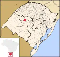 Location in Rio Grande do Sul state | |
 Jari Location in Brazil | |
| Coordinates: 29°17′27″S 54°13′26″W / 29.29083°S 54.22389°W | |
| Country | Brazil |
| Region | South |
| State | Rio Grande do Sul |
| Mesoregion | Centro Ocidental Rio-Grandense |
| Microregion | Santiago |
| Area | |
| • Total | 856.46 km2 (330.68 sq mi) |
| Elevation | 441 m (1,447 ft) |
| Population (2020 [1]) | |
| • Total | 3,486 |
| • Density | 4.1/km2 (11/sq mi) |
| Time zone | UTC−3 (BRT) |
| Postal code | 98175-xxx |
| Website | www |
Jari is a municipality of the western part of the state of Rio Grande do Sul, Brazil. The population is 3,486 (2020 est.) in an area of 856.46 km².[2] Its elevation is 441 m. It is located west of the state capital of Porto Alegre, northeast of Alegrete.
References
External links
- http://www.citybrazil.com.br/rs/jari/ (in Portuguese)
This article is issued from Wikipedia. The text is licensed under Creative Commons - Attribution - Sharealike. Additional terms may apply for the media files.