Jewell Ridge, Virginia | |
|---|---|
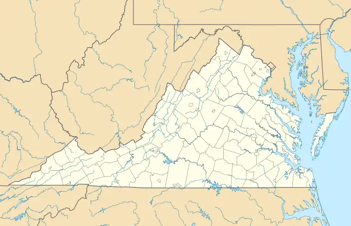 Jewell Ridge, Virginia  Jewell Ridge, Virginia | |
| Coordinates: 37°11′05″N 81°47′18″W / 37.18472°N 81.78833°W | |
| Country | United States |
| State | Virginia |
| County | Tazewell |
| Area | |
| • Total | 0.414 sq mi (1.07 km2) |
| • Land | 0.414 sq mi (1.07 km2) |
| • Water | 0 sq mi (0 km2) |
| Elevation | 2,969 ft (905 m) |
| Population (2020) | |
| • Total | 149 |
| • Density | 359.9/sq mi (139.0/km2) |
| Time zone | UTC-5 (Eastern (EST)) |
| • Summer (DST) | UTC-4 (EDT) |
| ZIP code | 24622 |
| Area code | 276 |
| GNIS feature ID | 2807450[1] |
Jewell Ridge is an unincorporated community and census-designated place in Tazewell County, Virginia, United States. Jewell Ridge is 6.3 miles (10.1 km) north of Richlands. Jewell Ridge has a post office with ZIP code 24622.[2]
References
- ↑ "Jewell Ridge". Geographic Names Information System. United States Geological Survey, United States Department of the Interior.
- ↑ United States Postal Service (2012). "USPS - Look Up a ZIP Code". Retrieved February 15, 2012.
Municipalities and communities of Tazewell County, Virginia, United States | ||
|---|---|---|
| Towns | 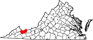 Map of Virginia highlighting Tazewell County | |
| CDPs | ||
| Other communities | ||
| Footnotes | ‡This populated place also has portions in an adjacent county or counties | |
This article is issued from Wikipedia. The text is licensed under Creative Commons - Attribution - Sharealike. Additional terms may apply for the media files.