Jonestown, Indiana | |
|---|---|
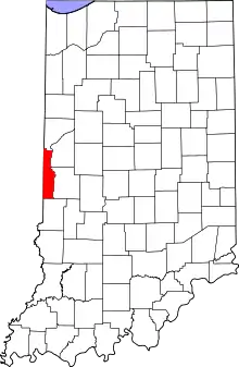 Vermillion County's location in Indiana | |
 Jonestown Jonestown's location in Vermillion County | |
| Coordinates: 39°42′33″N 87°30′9″W / 39.70917°N 87.50250°W | |
| Country | United States |
| State | Indiana |
| County | Vermillion |
| Township | Helt |
| Elevation | 633 ft (193 m) |
| Time zone | UTC-5 (Eastern (EST)) |
| • Summer (DST) | UTC-4 (EDT) |
| ZIP code | 47842 |
| Area code | 765 |
| GNIS feature ID | 437106 |
Jonestown is an unincorporated community in Helt Township, Vermillion County, in the U.S. state of Indiana.[2]
History
Jonestown was laid out in about 1862 by Philip Jones, who gave the town his name.[3] A post office called Jones was established in 1862.[4] In 1867, the post office was transferred to Saint Bernice.[5]
Geography
Jonestown is located less than a mile east of the larger town of Saint Bernice.
References
- ↑ "US Board on Geographic Names". United States Geological Survey. October 25, 2007. Retrieved July 15, 2016.
- ↑ "Jonestown, Indiana". Geographic Names Information System. United States Geological Survey. Retrieved July 31, 2017.
- ↑ History of Parke and Vermillion Counties, Indiana. B.F. Bowen & Cos. 1913. p. 412.
- ↑ "Vermillion County". Jim Forte Postal History. Retrieved October 1, 2015.
- ↑ Baker, Ronald L. (October 1995). From Needmore to Prosperity: Hoosier Place Names in Folklore and History. Indiana University Press. p. 181. ISBN 978-0-253-32866-3.
...established on April 26, 1862; moved to nearby Saint Bernice...
Municipalities and communities of Vermillion County, Indiana, United States | ||
|---|---|---|
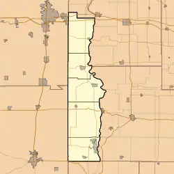
| City | Map of Indiana highlighting Vermillion County | |
| Towns | ||
| Townships | ||
| CDPs | ||
| Other communities | ||
| Ghost towns | ||
| Footnotes | ‡This populated place also has portions in an adjacent county or counties | |
This article is issued from Wikipedia. The text is licensed under Creative Commons - Attribution - Sharealike. Additional terms may apply for the media files.