Kakrala | |
|---|---|
City | |
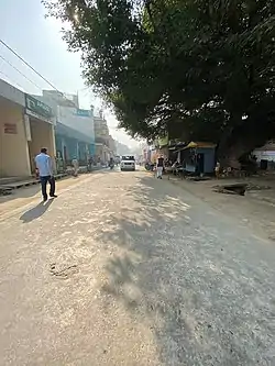 Kakrala-Budaun Road | |
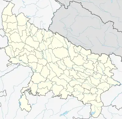 Kakrala Location in Uttar Pradesh, India | |
| Coordinates: 27°53′32″N 79°11′43″E / 27.89222°N 79.19528°E | |
| Country | |
| State | Uttar Pradesh |
| District | Badaun |
| Government | |
| • Chairman of Municipal Board | Intkhab Mumtaz Saqlaini |
| • MLA | Himanshu Yadav |
| • MP | Dharmendra Kashyap |
| Area | |
| • Total | 39 km2 (15 sq mi) |
| Elevation | 160 m (520 ft) |
| Population (2011) | |
| • Total | 40,081 |
| • Density | 1,000/km2 (2,700/sq mi) |
| hindi. Urdu Kokri | |
| • Official | English, Urdu, Hindi |
| Time zone | UTC+5:30 (IST) |
| PIN | 243637 |
| Vehicle registration | UP-24 |
Kakrala is a city and municipal board in Badaun district in Indian state of Uttar Pradesh.
Geography
Kakrala is located at 27°53′32″N 79°11′43″E / 27.89222°N 79.19528°E.[1] This place is situated in Budaun, Uttar Pradesh, India, its geographical coordinates are 27° 54' 0" North, 79° 12' 0" East and its original name (with diacritics) is Kakrāla. The average temperature in winter is 25 °C (77 °F), and can reach up to 38 °C (100 °F) in summer. .
Demographics
As of 2011 India census,[2] Kakrala had a population of 105000. Males constituted 52.71% of the population while females constituted 47.28%. Kakrala has an average literacy rate of 57.96%, lower than the national average of 74.04%: male literacy is 61.69%, and female literacy is 53.76%. [3]
References
Wikimedia Commons has media related to Kakrala.
- ↑ Falling Rain Genomics, Inc - Kakrala
- ↑ "Census of India 2001: Data from the 2001 Census, including cities, villages and towns (Provisional)". Census Commission of India. Archived from the original (PDF) on 16 June 2004. Retrieved 1 November 2008.
- ↑ "District Census Handbook Budaun" (PDF). www.censusindia.gov.in. Archived from the original (PDF) on 8 March 2022. Retrieved 9 September 2023.
This article is issued from Wikipedia. The text is licensed under Creative Commons - Attribution - Sharealike. Additional terms may apply for the media files.