Kamituga Airport | |||||||||||
|---|---|---|---|---|---|---|---|---|---|---|---|
| Summary | |||||||||||
| Airport type | Public | ||||||||||
| Serves | Kamituga | ||||||||||
| Elevation AMSL | 3,871 ft / 1,180 m | ||||||||||
| Coordinates | 3°02′45″S 28°10′05″E / 3.04583°S 28.16806°E | ||||||||||
| Map | |||||||||||
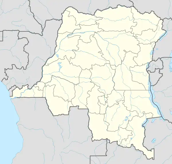 FZPB Location of the airport in Democratic Republic of the Congo | |||||||||||
| Runways | |||||||||||
| |||||||||||
Kamituga Airport (ICAO: FZPB) is an airport serving the town of Kamituga in South Kivu Province, Democratic Republic of the Congo.
The airport is in a shallow valley, with rising terrain in all quadrants.
See also
References
- ↑ Google Maps - Kamituga
- ↑ Airport information for Kamituga Airport at Great Circle Mapper.
External links
- OpenStreetMap - Kamituga Airport
- OurAirports - Kamituga Airport
- FallingRain - Kamituga Airport
- HERE Maps - Kamituga
- Accident history for Kamituga Airport at Aviation Safety Network
This article is issued from Wikipedia. The text is licensed under Creative Commons - Attribution - Sharealike. Additional terms may apply for the media files.