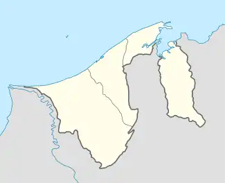
Kampong Birau | |
|---|---|
 Location in Brunei | |
| Coordinates: 4°47′03″N 114°45′25″E / 4.7841°N 114.757°E | |
| Country | Brunei |
| District | Tutong |
| Mukim | Kiudang |
| Area | |
| • Total | 35 km2 (13.5 sq mi) |
| Population (2016)[2] | |
| • Total | 989 |
| • Density | 28/km2 (73/sq mi) |
| Time zone | UTC+8 (BNT) |
| Postcode | TE2143 |
Kampong Birau is a village in the north-east of Tutong District, Brunei, about 19 kilometres (12 mi) from the district town Pekan Tutong. It has an area of 13.5 square miles (35 km2);[1] the population was 989 in 2016.[2] It is one of the villages within Mukim Kiudang, a mukim in the district.[3]
Facilities
Birau Primary School is the village primary school; it was inaugurated on 15 February 1955.[1] It also shares grounds with Birau Religious School, the village school for the primary level of the country's Islamic religious education.
Kampong Birau Mosque is the village mosque; it was established on 18 January 1963.[1] The current building was inaugurated on 2 August 1991 by the then Prince Al-Muhtadee Billah.[4] It can accommodate 300 worshippers.[4]
References
- 1 2 3 4 Puak Tutong: Sejarah dan Perkembangan Awal Sosio-Budaya (in Malay). Pusat Sejarah Brunei. 2004. pp. 53–55. OCLC 866690368.
- 1 2 "Population and Housing Census Update Final Report 2016" (PDF). www.deps.gov.bn. Department of Statistics. December 2018. Retrieved 8 July 2021.
- ↑ Tutong District (PDF). Information Department. 2013. p. 9. Retrieved 8 July 2021.
- 1 2 "SenaraiMasjid - Masjid Kampong Birau". www.kheu.gov.bn (in Malay). Retrieved 8 July 2021.