Karojba
Caroiba del Subiente | |
|---|---|
Municipality | |
| Karojba Municipality | |
.jpg.webp) | |
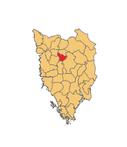 Location of Karojba municipality in Istria | |
 Karojba | |
| Coordinates: 45°18′N 13°49′E / 45.300°N 13.817°E | |
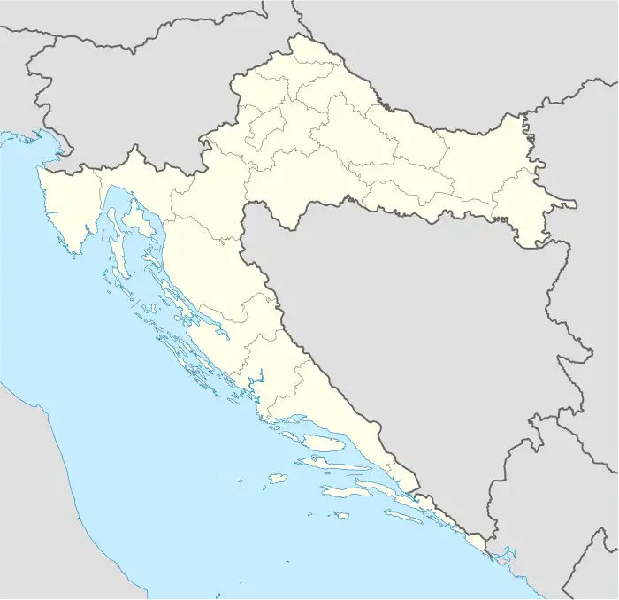
| Country | |
| County | |
| Area | |
| • Municipality | 13.4 sq mi (34.7 km2) |
| • Urban | 4.7 sq mi (12.1 km2) |
| Population (2021)[2] | |
| • Municipality | 1,404 |
| • Density | 100/sq mi (40/km2) |
| • Urban | 413 |
| • Urban density | 88/sq mi (34/km2) |
| Time zone | UTC+1 (CET) |
| • Summer (DST) | UTC+2 (CEST) |
| Area code | 052 |
| Website | karojba |
Karojba (Italian: Caroiba del Subiente) is a village and municipality in Istria, Croatia located 18 km north-west of Pazin.
Demographics
According to the Croatian 2021 census, the whole of Karojba Municipality has 1,404 inhabitants, while the settlement of Karojba proper has 413 inhabitants.[2] The population was 1,438 in 2011.[3]
References
- ↑ Register of spatial units of the State Geodetic Administration of the Republic of Croatia. Wikidata Q119585703.
- 1 2 "Population by Age and Sex, by Settlements, 2021 Census". Census of Population, Households and Dwellings in 2021. Zagreb: Croatian Bureau of Statistics. 2022.
- ↑ "Population by Age and Sex, by Settlements, 2011 Census: Karojba". Census of Population, Households and Dwellings 2011. Zagreb: Croatian Bureau of Statistics. December 2012.
External links
Subdivisions of Istria County | ||
|---|---|---|
| Cities and towns |  Coat of arms of Istria County | |
| Municipalities | ||
This article is issued from Wikipedia. The text is licensed under Creative Commons - Attribution - Sharealike. Additional terms may apply for the media files.