Keeranur | |
|---|---|
city | |
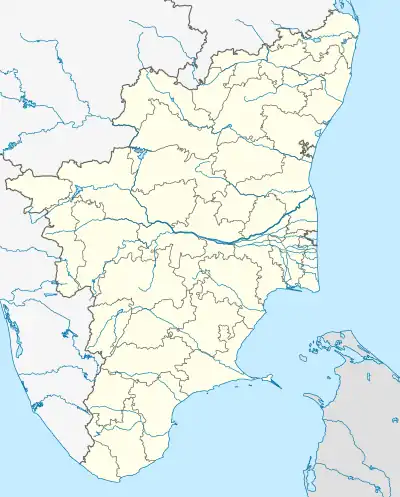 Keeranur Location in Tamil Nadu, India | |
| Coordinates: 10°35′44″N 78°46′53″E / 10.59556°N 78.78139°E | |
| Country | |
| State | Tamil Nadu |
| District | Pudukkottai |
| Population (2001) | |
| • Total | 9,681 |
| Languages | |
| • Official | Tamil |
| Time zone | UTC+5:30 (IST) |
| PIN | 622502 |
| Telephone code | 04339 |
| Vehicle registration | TN-55 |
Keeranur is a panchayat town in Pudukkottai District in the Indian state of Tamil Nadu. It is located 225 km South-East of Coimbatore. The Uthama Nathaswami Sivan Temple is of a Mutharaya edifice and contains epigraphs of Cholas and Vijayanagar Empires.[1]
Demographics
As of 2001 India census,[2] Keeranur had a population of 9681. Males constitute 51% of the population and females 49%. Keeranur has an average literacy rate of 76%, higher than the national average of 59.5%: male literacy is 82%, and female literacy is 70%. In Keeranur, 12% of the population is under 7 years of age.
References
- ↑ ":::TTDC - Places:::".
- ↑ "Census of India 2001: Data from the 2001 Census, including cities, villages and towns (Provisional)". Census Commission of India. Archived from the original on 16 June 2004. Retrieved 1 November 2008.
This article is issued from Wikipedia. The text is licensed under Creative Commons - Attribution - Sharealike. Additional terms may apply for the media files.