Khaptad Chhededaha Rural Municipality
खप्तड छेडेदह गाउँपालिका | |
|---|---|
 Khaptad Chhededaha Rural Municipality खप्तड छेडेदह गाउँपालिका | |
| Coordinates: 29°24′24″N 81°17′56″E / 29.4067°N 81.2989°E | |
| Country | |
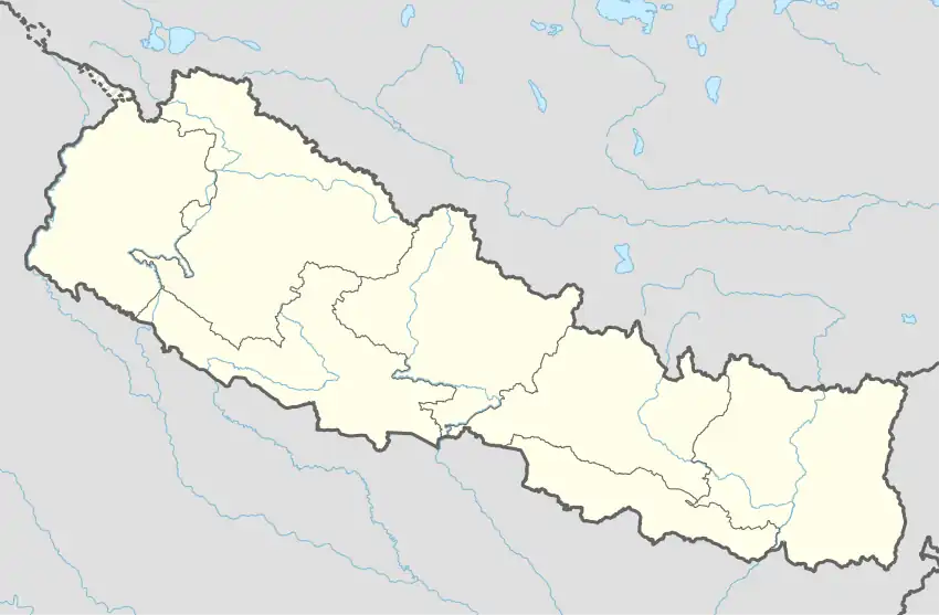
| Province | Sudurpashchim Province |
| District | Bajura District |
| Government | |
| • Type | Local government |
| Area | |
| • Total | 135.08 km2 (52.15 sq mi) |
| Population | |
| • Total | 18,575 |
| • Density | 140/km2 (360/sq mi) |
| Time zone | UTC+05:45 (Nepal Standard Time) |
| Website | https://www.chhededahamun.gov.np/ |
Khaptad Chhededaha (Nepali: खप्तड छेडेदह ) is a Gaupalika(Nepali: गाउपालिका ; gaupalika) in Bajura District in the Sudurpashchim Province of far-western Nepal.[1]
Khaptad Chhededaha has a population of 18575.The land area is 135.08 km2.[2]
References
- ↑ "Ministry of Federal Affairs". Retrieved 6 July 2020.
- ↑ "National Population and Housing Census 2011(National Report)" (PDF). Central Bureau of Statistics. Government of Nepal. 2012. Archived from the original (PDF) on 2013-04-18. Retrieved 2012-01-01.
Headquarters: Martadi (today part of Badimalika) | ||
| Municipality | 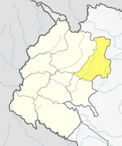 | |
| Rural municipalities | ||
| Former VDCs | ||
List of municipalities and rural municipalities of Nepal | ||
This article is issued from Wikipedia. The text is licensed under Creative Commons - Attribution - Sharealike. Additional terms may apply for the media files.