Khawkawn | |
|---|---|
village | |
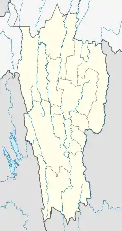 Khawkawn Location in Mizoram, India  Khawkawn Khawkawn (India) | |
| Coordinates: 24°01′08″N 93°13′17″E / 24.0188146°N 93.2212883°E | |
| Country | India |
| State | Mizoram |
| District | Champhai |
| Block | Ngopa |
| Elevation | 1,257 m (4,124 ft) |
| Population (2011) | |
| • Total | 908 |
| Time zone | UTC+5:30 (IST) |
| 2011 census code | 271291 |
Khawkawn is a village in the Champhai district of Mizoram, India. It is located in the Ngopa R.D. Block, near the state's border with Manipur.[1]
Demographics
According to the 2011 census of India, Khawkawn has 161 households. The effective literacy rate (i.e. the literacy rate of population excluding children aged 6 and below) is 97.88%.[2]
| Total | Male | Female | |
|---|---|---|---|
| Population | 908 | 452 | 456 |
| Children aged below 6 years | 153 | 72 | 81 |
| Scheduled caste | 0 | 0 | 0 |
| Scheduled tribe | 901 | 449 | 452 |
| Literates | 739 | 378 | 361 |
| Workers (all) | 407 | 232 | 175 |
| Main workers (total) | 323 | 220 | 103 |
| Main workers: Cultivators | 266 | 183 | 83 |
| Main workers: Agricultural labourers | 1 | 0 | 1 |
| Main workers: Household industry workers | 5 | 3 | 2 |
| Main workers: Other | 51 | 34 | 17 |
| Marginal workers (total) | 84 | 12 | 72 |
| Marginal workers: Cultivators | 77 | 9 | 68 |
| Marginal workers: Agricultural labourers | 1 | 0 | 1 |
| Marginal workers: Household industry workers | 1 | 1 | 0 |
| Marginal workers: Others | 5 | 2 | 3 |
| Non-workers | 501 | 220 | 281 |
References
- ↑ "Mizoram villages" (PDF). Land Records Information Systems Division, NIC. Archived from the original (PDF) on 6 August 2014. Retrieved 22 August 2015.
- 1 2 "District Census Handbook - Champhai" (PDF). 2011 Census of India. Directorate of Census Operations, Mizoram. Retrieved 22 August 2015.
This article is issued from Wikipedia. The text is licensed under Creative Commons - Attribution - Sharealike. Additional terms may apply for the media files.