Kileleshwa | |
|---|---|
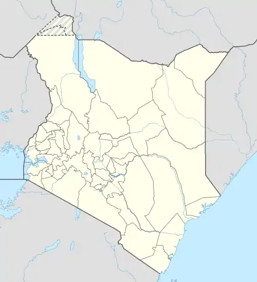  Kileleshwa Location of Kileleshwa in Kenya | |
| Coordinates: 01°16′37″S 36°47′35″E / 1.27694°S 36.79306°E | |
| Country | Kenya |
| County | Nairobi City |
| Sub-county | Westlands |
| Area | |
| • Total | 5.3 km2 (2.0 sq mi) |
| Population (2019)[1] | |
| • Total | 22,216 |
| • Density | 4,229/km2 (10,950/sq mi) |
Kileleshwa is a residential neighbourhood in the city of Nairobi. It is located approximately 5.2 kilometres (3 mi) from Nairobi's central business district. The neighbourhood was originally a low-density leafy suburb but after change in zoning regulations in the early 2000s, there has been significant mushrooming of high-rise flats in the area. It hosts mainly the upper middle class segment of the Nairobi residents.
Location
Kileleshwa is located approximately 5 kilometres (3 mi) west of Nairobi's central business district, within the larger sub-county of Westlands. It is east of Lavington; south of Muthangari; west of Kilimani, mainly separated by the Kirichwa River.
Overview
The neighbourhood was established as a whites-only residential area by the British colonialists in the mid 20th century. It was not until the 1960s when it was racially integrated. The neighbourhood has historically been primarily low-density residential, but since early 2000s, Kileleshwa and its environs have become increasingly high-density mixed residential and commercial; both retail and offices, due to the zoning laws in the area being changed.[2][3][4] Some of the high-rise buildings have been built contrary to the county's bylaws and have been characterised as vertical slums due to them burdening the existing laid infrastructure.[5][6]
Kileleshwa, an electoral ward within the Dagoretti North Constituency, borrows its name from the estate, encompassing other estates and neighbourhoods such as: Chiromo, Groganville, Kileleshwa, Muthangari and Riverside.[7]
As per the 2019 census, Kileleshwa had a population of 22,216, with a population density of 4,229/km2 in a land area of 5.3km2.[1]
Points of interest
- Schools
The Kenya High School is located in Kileleshwa.[8]
References
- 1 2 "2019 Kenya Population and Housing Census Volume II: Distribution of Population by Administrative Units". Kenya National Bureau of Statistics. p. 251. Retrieved 12 December 2022.
- ↑ Limbe, Lydia (4 July 2013). "Nairobi's leafy suburbs mutate in office boom". The Standard (Kenya). Nairobi. Retrieved 11 November 2022.
- ↑ "About Kileleshwa". Hauzisha. 30 March 2022. Retrieved 11 November 2022.
- ↑ Muiruri, Peter. "Why Kileleshwa is becoming like Kayole, Umoja". The Standard. Nairobi. Retrieved 11 November 2022.
- ↑ Mugambi, Hassan (30 April 2023). "Vertical Slums: How New Crop Of Apartments In Kilimani, Kileleshwa Is Affecting Nairobi's Infrastructure". Citizen Digital. Retrieved 10 May 2023.
- ↑ Wambui, Mary (6 February 2023). "How Kilimani, Kileleshwa are fast turning into Nairobi's new 'slums'". Nation. Retrieved 10 May 2023.
- ↑ "Kileleshwa County assembly ward". Dagoretti North CDF. Nairobi. Retrieved 11 November 2022.
- ↑ "Kenya High School fee structure, entry marks, address, contacts". Tuko. Retrieved 11 November 2022.
 Nairobi Coat of Arms | |||||
| Neighbourhoods |
| ||||
| County divisions | |||||
| Transport | |||||
| Education |
| ||||
| Landmarks | |||||