Kineta | |
|---|---|
Village | |
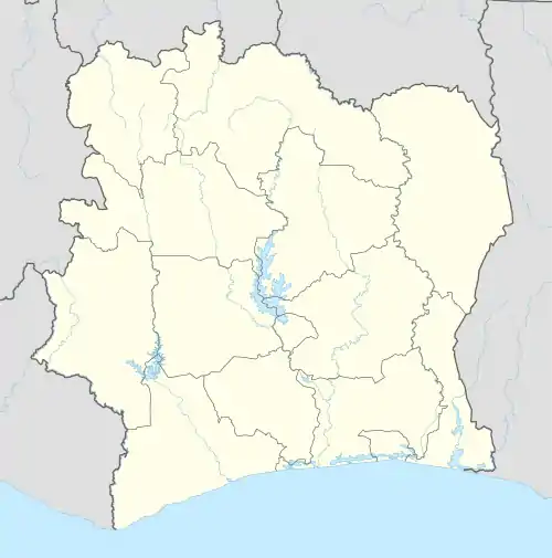 Kineta Location in Ivory Coast | |
| Coordinates: 8°52′N 2°47′W / 8.867°N 2.783°W | |
| Country | |
| District | Zanzan |
| Region | Bounkani |
| Department | Bouna |
| Sub-prefecture | Ondéfidouo |
| Elevation | 310 m (1,020 ft) |
| Time zone | UTC+0 (GMT) |
Kineta is a village in north-eastern Ivory Coast. It is in the sub-prefecture of Ondéfidouo, Bouna Department, Bounkani Region, Zanzan District. Kineta is near the border with Ghana.[1]
Kineta is at an altitude of 310 metres (1020 feet). The population within 7 kilometres (4.3 mi) of Kineta is approximately 596.[2]
References
- ↑ "Political Map of Côte d'Ivoire (Ivory Coast)". Nations Online Project. Retrieved 25 October 2011.
- ↑ "Kineta, Cote D'Ivoire (Ivory Coast)". Falling Rain. Retrieved 25 October 2011.
This article is issued from Wikipedia. The text is licensed under Creative Commons - Attribution - Sharealike. Additional terms may apply for the media files.