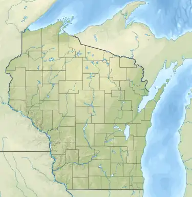
| Kohlsville River | |
|---|---|
  | |
| Location | |
| Country | United States |
| State | Wisconsin |
| Physical characteristics | |
| Source | Near Nabob |
| • coordinates | 43°25′52″N 88°15′53″W / 43.4311102°N 88.264818°W |
| Mouth | East Branch Rock River |
• location | Theresa Marsh |
• coordinates | 43°28′59″N 88°22′33″W / 43.4830520°N 88.3759317°W |
• elevation | 932 ft (284 m) |
| Length | 9 mi (14 km) |
| Basin features | |
| Tributaries | |
| • right | Wayne Creek |
The Kohlsville River is a river in eastern Wisconsin that flows through the community of Kohlsville and into the East Branch Rock River. The entirety of the river is located in Washington County.[1]
Progression
The source is near the community of Nabob, in the town of West Bend. The river is dammed in Kohlsville, creating the Kohlsville Millpond.[2] It then flows under Interstate 41 and joins with the East Branch Rock River in the Theresa Marsh.[3]
See also
References
- ↑ "Report for Kohlsville River". USGNIS. U.S. Department of the Interior. Retrieved 14 November 2020.
- ↑ "Kohlsville Millpond". Wisconsin DNR. Retrieved 14 November 2020.
- ↑ "DNR Managed and Other Public Lands" (PDF). Wisconsin DNR. Retrieved 14 November 2020.
This article is issued from Wikipedia. The text is licensed under Creative Commons - Attribution - Sharealike. Additional terms may apply for the media files.