Korambhi | |
|---|---|
Village | |
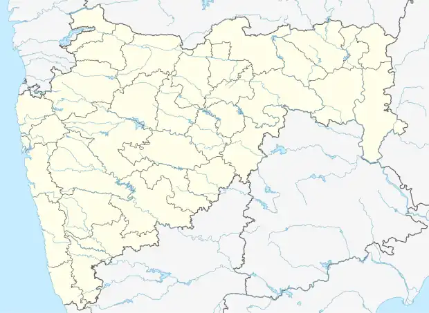 Korambhi Location in Maharashtra, India  Korambhi Korambhi (India) | |
| Coordinates: 21°07′34″N 79°37′01″E / 21.1261°N 79.6169°E | |
| Country | |
| State | Maharashtra |
| Region | Vidharba |
| District | Bhandara |
| Tahsil | Bhandara |
| Government | |
| • Type | Gram Panchayat |
| • Body | Korambhi Grampanchayat |
| Elevation | 288 m (945 ft) |
| Languages | |
| • Official | Marathi |
| Time zone | UTC+5:30 (IST) |
| PIN | 441906 |
| Telephone code | +917184 ****** |
| Vehicle registration | MH-36 |
| Nearest city | Bhandara |
| Lok Sabha constituency | Bhandara-Gondiya (Lok Sabha constituency) |
| Vidhan Sabha constituency | Bhandara (Vidhan Sabha constituency) |
Korambhi is a village in the Bhandara tahsil of Bhandara District of Maharashtra state in India. There is a temple to the Hindu goddess which is situated on the hill of Korambhi. It is a holy place among Hindus. Korambhi is famous for this Temple. The village is situated on the bank of Wainganga River.
According to the 2011 census it has a population of 659 living in 666 households.[1]
References
- ↑ "Census of India Website : Office of the Registrar General & Census Commissioner, India". Census of India Website. Retrieved 3 May 2021.
This article is issued from Wikipedia. The text is licensed under Creative Commons - Attribution - Sharealike. Additional terms may apply for the media files.