Kotma
Kunti Maa | |
|---|---|
city | |
| Kotma | |
| Nickname(s): Kunti Maa, Mineral capital of Anuppur district | |
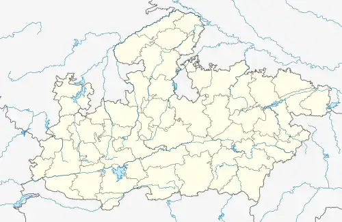 Kotma Location in Madhya Pradesh, India 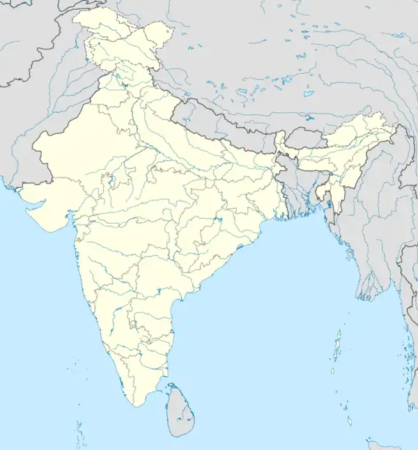 Kotma Kotma (India) | |
| Coordinates: 23°12′N 81°58′E / 23.2°N 81.97°E | |
| Country | |
| State | Madhya Pradesh |
| 1979 | 26 January |
| Named for | Kunti Maa |
| Government | |
| • Type | [Indian national Congress] |
| Elevation | 517 m (1,696 ft) |
| Languages | |
| • Official | Hindi |
| Time zone | UTC+5:30 (IST) |
| PIN | 484334 |
| Telephone code | 07658 |
| Vehicle registration | MP-65 |
Kotma is a biggest City /town and a municipality in Anuppur district in the Indian state of Madhya Pradesh.
Demographics
As of 2001 India census,[1] Kotma had a population of 88484. Males constitute 52.5% of the population and females 42.5%. Kotma has an average literacy rate of 67%, male literacy is 75.5%, and female literacy is 57.5%. In Kotma, 20% of the population is under 6 years of age.
Geography
Kotma is located at 23°12′N 81°58′E / 23.2°N 81.97°E.[2] It has an average elevation of 517 metres (1696 feet).
References
- ↑ "Census of India 2001: Data from the 2001 Census, including cities, villages and towns (Provisional)". Census Commission of India. Archived from the original on 16 June 2004. Retrieved 1 November 2008.
- ↑ Falling Rain Genomics, Inc - Kotma
This article is issued from Wikipedia. The text is licensed under Creative Commons - Attribution - Sharealike. Additional terms may apply for the media files.