Koundian | |
|---|---|
Commune and town | |
 | |
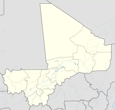  Koundian Location in Mali | |
| Coordinates: 13°09′35″N 10°40′50″W / 13.15972°N 10.68056°W | |
| Country |  Mali Mali |
| Region | Kayes Region |
| Cercle | Bafoulabé Cercle |
| Population (2009 census)[1] | |
| • Total | 14,075 |
| Time zone | UTC+0 (GMT) |
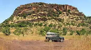
Koundian is a small town and commune in the Cercle of Bafoulabé in the Kayes Region of south-western Mali. In the 2009 census the commune had a population of 14,075.
The Toucouleur leader El Hadj Umar Tall built a fort (tata) near the village in 1857.[2][3] The fort was captured by French troops led by Louis Archinard in 1889.[4][5]
References
- ↑ Resultats Provisoires RGPH 2009 (Région de Kayes) (PDF) (in French), République de Mali: Institut National de la Statistique, archived from the original (PDF) on July 27, 2012.
- ↑ Delafosse 1912, p. 313.
- ↑ Meillassoux 1966, p. 42.
- ↑ Delafosse 1912, p. 411.
- ↑ Gatelet 1901, pp. 142-143.
Sources
- Delafosse, Maurice (1912), Haut-Sénégal-Niger: Le Pays, les Peuples, les Langues; l'Histoire; les Civilizations. Volume 2: L'Histoire (in French), Paris: Émile Larose.
- Gatelet, Auguste Louis Charles (1901), Histoire de la conquête du Soudan français (1878-1899) (in French), Paris: Berger-Levrault.
- Meillassoux, C. (1966), "Plans d'anciennes fortifications (Tata) en pays Malinké", Journal de la Société des Africanistes (in French), 36 (1): 29–44, doi:10.3406/jafr.1966.1403. Page 42 contains a plan of the village showing the fort.
External links
- Plan de Sécurité Alimentaire Commune rurale de Koundian 2007-2009 (PDF) (in French), Commissariat à la Sécurité Alimentaire, République du Mali, USAID-Mali, 2006, archived from the original (PDF) on 2012-06-11, retrieved 2012-03-17.
This article is issued from Wikipedia. The text is licensed under Creative Commons - Attribution - Sharealike. Additional terms may apply for the media files.