Krasnyi Lyman
Красний Лиман | |
|---|---|
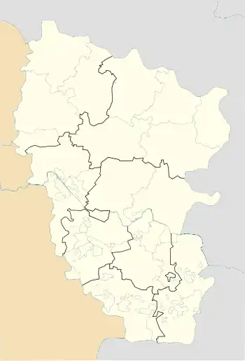 Krasnyi Lyman Location of Krasnyi Lyman within Ukraine 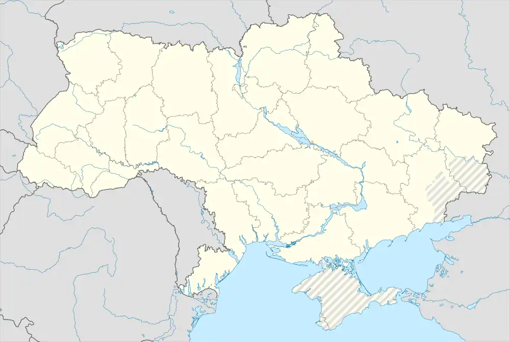 Krasnyi Lyman Krasnyi Lyman (Ukraine) | |
| Coordinates: 48°43′16″N 38°58′07″E / 48.721111°N 38.968611°E | |
| Country | Ukraine |
| Province | Luhansk Oblast |
| District | Alchevsk Raion |
| Founded | 1960 |
| Area | |
| • Total | 0.176 km2 (0.068 sq mi) |
| Elevation | 66 m (217 ft) |
| Population | |
| • Total | 101 |
| • Density | 570/km2 (1,500/sq mi) |
| Time zone | UTC+2 (EET) |
| • Summer (DST) | UTC+3 (EEST) |
| Postal code | 93704 |
| Area code | +380 6473 |
Krasnyi Lyman (Ukrainian: Красний Лиман; Russian: Красный Лиман) is a village in Alchevsk Raion (district) in Luhansk Oblast of eastern Ukraine, at about 30 km NW from Luhansk.
The settlement was taken under control of pro-Russian forces during the War in Donbass, that started in 2014.[1]
References
- ↑ "Кабмин назвал города Донбасса, подконтрольные сепаратистам". korrespondent.net. Retrieved 8 October 2015.
This article is issued from Wikipedia. The text is licensed under Creative Commons - Attribution - Sharealike. Additional terms may apply for the media files.