Kyongawon[1]
ကျုံခဝန် | |
|---|---|
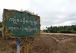 Kyongawon welcome signboard | |
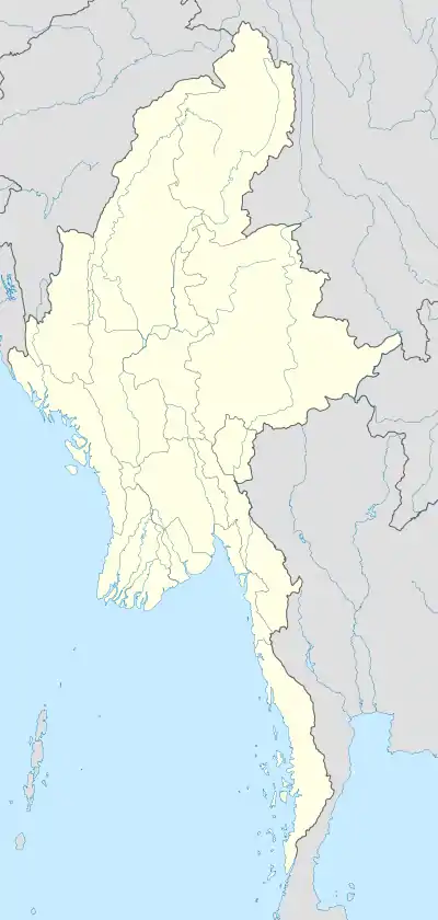 Kyongawon[4] Location in Myanmar | |
| Coordinates: 15°54′0″N 97°56′0″E / 15.90000°N 97.93333°E | |
| Country | |
| State | Kayin State |
| District | Kawkareik District |
| Township | Kyain Seikgyi Township |
| Population | |
| • Religions | Buddhism |
| Time zone | UTC+6.30 (MST) |
| Area code | 58[5] |
Kyongawon (Burmese: ကျုံခဝန်) is a village in Kyain Seikgyi Township, Kawkareik District, in the Kayin State of Myanmar. It lies on the Kyungawon Chaung, which runs from west to east through the village.[6]
References
- ↑ "Burma 1:250,000 topographic map, Series U542, Moulmein, NE 47-14" U.S. Army Map Service, December 1959
- "Burma 1:250,000 topographic map, Series U542, Moulmein, NE 47-14" U.S. Army Map Service, December 1959
- "Burma 1:250,000 topographic map, Series U542, Moulmein, NE 47-14" U.S. Army Map Service, December 1959
- ↑ "Burma 1:250,000 topographic map, Series U542, Moulmein, NE 47-14" U.S. Army Map Service, December 1959
- ↑ "Myanmar Area Codes". Archived from the original on 2009-12-01. Retrieved 2009-04-10.
- ↑ Kyungawon Chaung (Approved) at GEOnet Names Server, United States National Geospatial-Intelligence Agency
External links
 Media related to Kyongawon at Wikimedia Commons
- Maplandia World Gazetteer
This article is issued from Wikipedia. The text is licensed under Creative Commons - Attribution - Sharealike. Additional terms may apply for the media files.