Kyunhla | |
|---|---|
Town | |
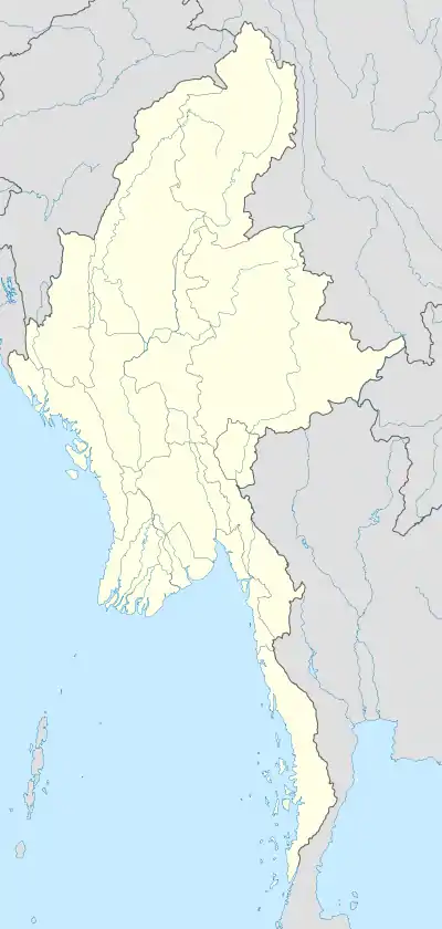 Kyunhla Location in Burma | |
| Coordinates: 23°21′0″N 95°19′0″E / 23.35000°N 95.31667°E | |
| Country | |
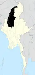
| Division | |
| District | Kanbalu District |
| Township | Kyunhla Township |
| Elevation | 538 ft (163 m) |
| Population | |
| • Religions | Buddhism |
| Time zone | UTC+6.30 (MST) |
Kyunhla (Burmese: ကျွန်းလှ) is a town in Kanbalu District, Sagaing Division in north-western Burma (Myanmar) about 70 kilometres east of Mawlaik. It is the administrative center of Kyunhla Township.
External links
- "Kyunhla Map — Satellite Images of Modaung" Maplandia.com
.svg.png.webp)
This article is issued from Wikipedia. The text is licensed under Creative Commons - Attribution - Sharealike. Additional terms may apply for the media files.