| La Tsavre | |
|---|---|
 La Tsavre | |
| Highest point | |
| Elevation | 2,978 m (9,770 ft) |
| Prominence | 305 m (1,001 ft)[1] |
| Parent peak | Grand Rochère |
| Coordinates | 45°54′55.3″N 7°7′46.4″E / 45.915361°N 7.129556°E |
| Geography | |
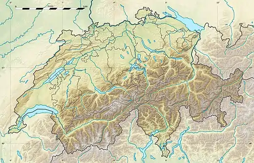 La Tsavre Location in Switzerland | |
| Location | Valais, Switzerland |
| Parent range | Pennine Alps |
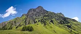
La Tsavre (also known as Mont Ferret) is a mountain of the Swiss Pennine Alps, overlooking Ferret in the canton of Valais. With a height of 2,978 metres above sea level, it is the highest summit of the Combe de l'A, a small valley between the Val Ferret and the Val d'Entremont.
References
External links
This article is issued from Wikipedia. The text is licensed under Creative Commons - Attribution - Sharealike. Additional terms may apply for the media files.