Lansing | |
|---|---|
 Lansing | |
| Coordinates: 43°44′53″N 92°57′57″W / 43.74806°N 92.96583°W | |
| Country | United States |
| State | Minnesota |
| County | Mower |
| Area | |
| • Total | 0.79 sq mi (2.03 km2) |
| • Land | 0.79 sq mi (2.03 km2) |
| • Water | 0.00 sq mi (0.00 km2) |
| Elevation | 1,227 ft (374 m) |
| Population (2020) | |
| • Total | 132 |
| • Density | 168.15/sq mi (64.91/km2) |
| Time zone | UTC-6 (Central (CST)) |
| • Summer (DST) | UTC-5 (CDT) |
| Area code | 507 |
| GNIS feature ID | 2628683[2] |
Lansing is a census-designated place and unincorporated community in Lansing Township, Mower County, Minnesota, United States. Its population was 181 as of the 2010 census.[3]
Lansing was platted in 1858, and named after Lansing, Michigan.[4] A post office has been in operation at Lansing since 1857.[5]
Population
| Census | Pop. | Note | %± |
|---|---|---|---|
| 1880 | 144 | — | |
| 2010 | 181 | — | |
| 2020 | 132 | −27.1% | |
| U.S. Decennial Census[6] | |||
References
- ↑ "2020 U.S. Gazetteer Files". United States Census Bureau. Retrieved July 24, 2022.
- 1 2 U.S. Geological Survey Geographic Names Information System: Lansing, Minnesota
- ↑ "U.S. Census website". United States Census Bureau. Retrieved May 14, 2011.
- ↑ Upham, Warren (1920). Minnesota Geographic Names: Their Origin and Historic Significance. Minnesota Historical Society. p. 360.
- ↑ "Mower County". Jim Forte Postal History. Retrieved July 22, 2015.
- ↑ United States Census Bureau. "Census of Population and Housing". Retrieved December 7, 2017.
Municipalities and communities of Mower County, Minnesota, United States | ||
|---|---|---|
| Cities | 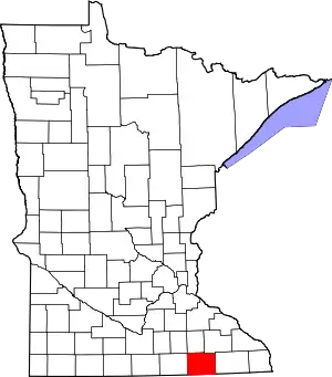 Map of Minnesota highlighting Mower County | |
| Townships | ||
| CDP | ||
| Unincorporated communities | ||
| Footnotes | ‡This populated place also has portions in adjacent county or counties | |
This article is issued from Wikipedia. The text is licensed under Creative Commons - Attribution - Sharealike. Additional terms may apply for the media files.