Lastovo | |
|---|---|
| Općina Lastovo Lastovo Municipality | |
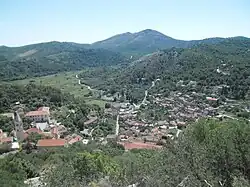 View of Lastovo | |
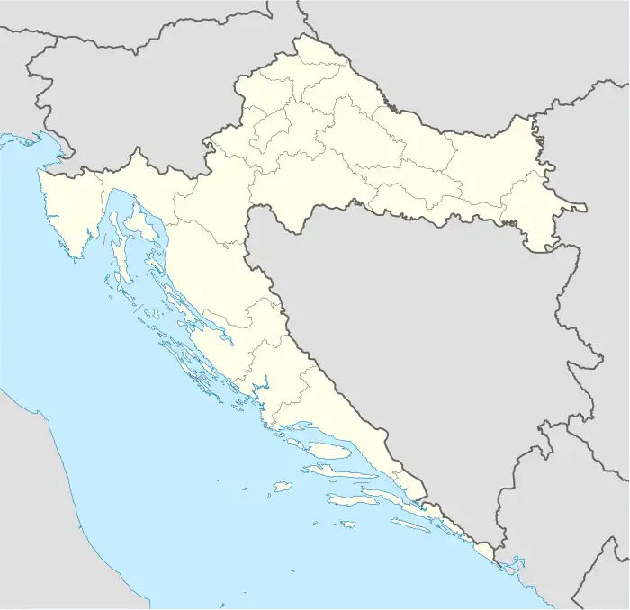 Lastovo Location of Lastovo within Croatia | |
| Coordinates: 42°46′00″N 16°54′00″E / 42.76667°N 16.90000°E | |
| Country | |
| County | |
| Government | |
| • Mayor | Leo Katić |
| Area | |
| • Municipality | 52.5 km2 (20.3 sq mi) |
| • Urban | 25.8 km2 (10.0 sq mi) |
| Population (2021)[2] | |
| • Municipality | 748 |
| • Density | 14/km2 (37/sq mi) |
| • Urban | 309 |
| • Urban density | 12/km2 (31/sq mi) |
| Time zone | UTC+1 (CET) |
| • Summer (DST) | UTC+2 (CEST) |
| Postal code | 20290 Lastovo |
| Website | lastovo |
Lastovo (Italian: Lagosta) is a village and a municipality in southern Croatia. It is the largest settlement on the eponymous island in Dubrovnik-Neretva County and D119 state road passes through it. According to the 2021 census, the municipality has 748 inhabitants, with 309 living in the village of Lastovo itself.[3]
Gallery
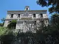 Rector's Palace
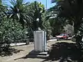 From WWII
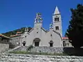 The parish Church of St. Cosmas and Damian
.JPG.webp) The Church of St. Joseph
The Church of St. Joseph.JPG.webp) The Chapel of St. Mary at Grža
The Chapel of St. Mary at Grža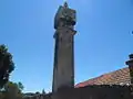 Fumar
Fumar
References
- ↑ Register of spatial units of the State Geodetic Administration of the Republic of Croatia. Wikidata Q119585703.
- ↑ "Population by Age and Sex, by Settlements, 2021 Census". Census of Population, Households and Dwellings in 2021. Zagreb: Croatian Bureau of Statistics. 2022.
- ↑ "Census of population, households and dwellings in 2021 - population by settlements" (PDF). Retrieved 26 February 2023.
Subdivisions of Dubrovnik-Neretva County | ||
|---|---|---|
| Cities and towns |  Coat of arms of Dubrovnik-Neretva County | |
| Municipalities | ||
This article is issued from Wikipedia. The text is licensed under Creative Commons - Attribution - Sharealike. Additional terms may apply for the media files.