Laughlintown, Pennsylvania | |
|---|---|
Unincorporated community | |
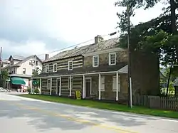 The Compass Inn in Laughlintown | |
 Laughlintown | |
| Coordinates: 40°12′43″N 79°11′52″W / 40.21194°N 79.19778°W | |
| Country | United States |
| State | Pennsylvania |
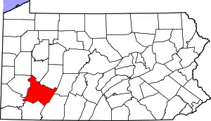
| County | Westmoreland |
| Elevation | 1,289 ft (393 m) |
| Time zone | UTC-5 (Eastern (EST)) |
| • Summer (DST) | UTC-4 (EDT) |
| ZIP code | 15655 |
| Area code | 724 |
| GNIS feature ID | 1178918[1] |
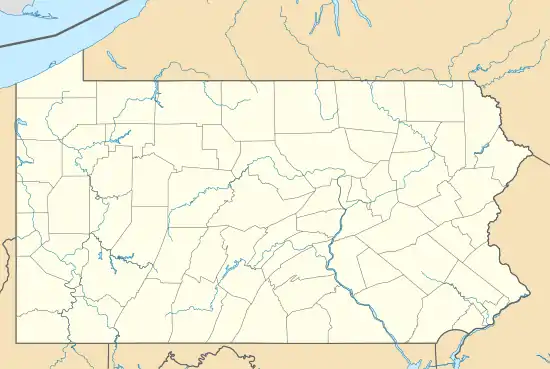
Laughlintown is an unincorporated community that is located in Ligonier Township, Westmoreland County, Pennsylvania, United States.[1] It is located on U.S. Route 30, 3 miles (4.8 km) southeast of Ligonier.
History and demographics
Laughlintown has a post office with ZIP code 15655, which opened on May 16, 1825.[2][3]
It presently has a population of roughly 332, according to the most recent U.S. census, which was completed in 2020.[4]
Notable features
The Compass Inn, which is listed on the National Register of Historic Places, is located in Laughlintown, as are the Rolling Rock Club and The Washington Furnace Inn.[5]
Notes
- 1 2 "Laughlintown". Geographic Names Information System. United States Geological Survey, United States Department of the Interior.
- ↑ United States Postal Service (2012). "USPS - Look Up a ZIP Code". Retrieved February 15, 2012.
- ↑ "Postmaster Finder - Post Offices by ZIP Code". United States Postal Service. Retrieved May 22, 2013.
- ↑ "Zip 15655 (Laughlintown, PA) People". BestPlaces.net. Retrieved January 17, 2020.
- ↑ "National Register Information System". National Register of Historic Places. National Park Service. July 9, 2010.
This article is issued from Wikipedia. The text is licensed under Creative Commons - Attribution - Sharealike. Additional terms may apply for the media files.