Laurel Grove, Oregon | |
|---|---|
 Laurel Grove  Laurel Grove | |
| Coordinates: 43°01′34″N 124°24′54″W / 43.026°N 124.415°W | |
| Country | United States |
| State | Oregon |
| County | Coos |
| Elevation | 118 ft (36 m) |
| Time zone | UTC-8 (Pacific (PST)) |
| • Summer (DST) | UTC-7 (PDT) |
| ZIP code | 97411 |
| Area code(s) | 458 and 541 |
| Coordinates and elevation from Geographic Names Information System | |
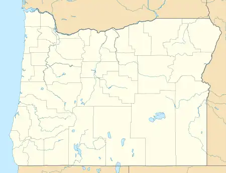
Laurel Grove is an unincorporated community in Coos County, Oregon, United States.[1] It lies along U.S. Route 101 south of Bandon and east of Bandon State Natural Area.[2]
References
- ↑ "Laurel Grove". Geographic Names Information System. United States Geological Survey, United States Department of the Interior. November 28, 1980. Retrieved December 23, 2010.
- ↑ Oregon Atlas and Gazetteer (Map) (7th ed.). Yarmouth, Maine: DeLorme Mapping. 2008. p. 51. ISBN 978-0-89933-347-2.
Municipalities and communities of Coos County, Oregon, United States | ||
|---|---|---|
| Cities | 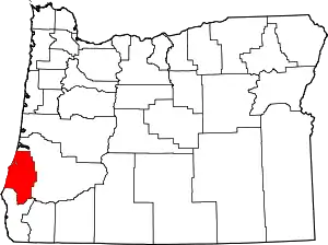 Coos County map | |
| CDPs | ||
| Other communities | ||
| Ghost town | ||
| Indian reservations | ||
| Footnotes | ‡This populated place also has portions in an adjacent county or counties | |
This article is issued from Wikipedia. The text is licensed under Creative Commons - Attribution - Sharealike. Additional terms may apply for the media files.