Lebel-sur-Quévillon Airport Aéroport de Lebel-sur-Quévillon | |||||||||||
|---|---|---|---|---|---|---|---|---|---|---|---|
| Summary | |||||||||||
| Airport type | Private | ||||||||||
| Operator | Ville de Lebel-sur-Quévillon | ||||||||||
| Serves | Lebel-sur-Quévillon | ||||||||||
| Location | Lebel-sur-Quévillon, Quebec | ||||||||||
| Time zone | EST (UTC−05:00) | ||||||||||
| • Summer (DST) | EDT (UTC−04:00) | ||||||||||
| Elevation AMSL | 961 ft / 293 m | ||||||||||
| Coordinates | 49°01′47″N 077°09′59″W / 49.02972°N 77.16639°W | ||||||||||
| Map | |||||||||||
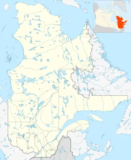 CSH4 Location in Quebec  CSH4 CSH4 (Canada) | |||||||||||
| Runways | |||||||||||
| |||||||||||
Source: Canada Flight Supplement[1] | |||||||||||
Lebel-sur-Quévillon Airport (IATA: YLS, TC LID: CSH4) is a registered aerodrome located 3 nautical miles (5.6 km; 3.5 mi) southwest of Lebel-sur-Quévillon, Quebec, Canada.
References
External links
| By name | |
|---|---|
| By location indicator | |
| By province/territory | |
| By area | |
| National Airports System | |
| Related | |
| |
This article is issued from Wikipedia. The text is licensed under Creative Commons - Attribution - Sharealike. Additional terms may apply for the media files.