Lego, West Virginia | |
|---|---|
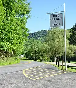 Coal City Road in Lego | |
 Lego, West Virginia  Lego, West Virginia | |
| Coordinates: 37°38′02″N 81°14′19″W / 37.63389°N 81.23861°W | |
| Country | United States |
| State | West Virginia |
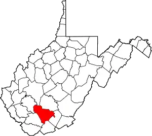
| County | Raleigh |
| Elevation | 1,847 ft (563 m) |
| Time zone | UTC-5 (Eastern (EST)) |
| • Summer (DST) | UTC-4 (EDT) |
| Area code(s) | 304 & 681 |
| GNIS feature ID | 1549781[1] |
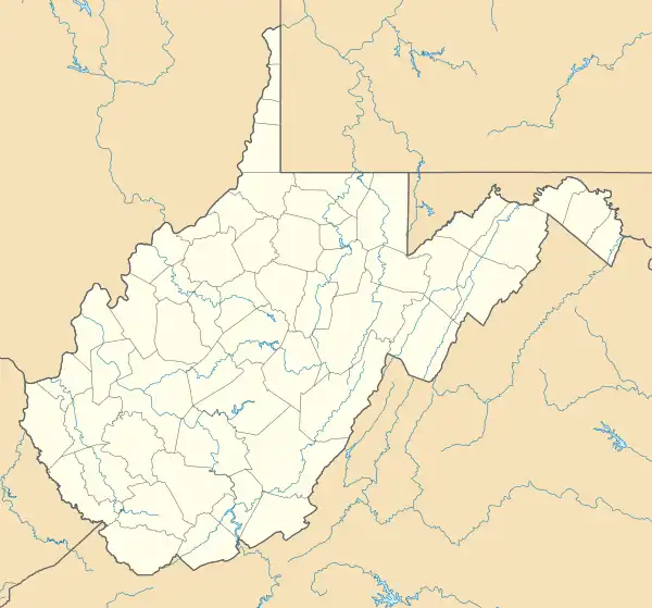
Lego is an unincorporated community in Raleigh County, West Virginia, United States. Lego is 5 miles (8.0 km) south-southeast of Sophia. It was developed as a mining town by the Fire Creek Smokeless Fuel Company.[2]
References
- ↑ "US Board on Geographic Names". United States Geological Survey. October 25, 2007. Retrieved January 31, 2008.
- ↑ "Lego, West Virginia - West Virginia (WV) Cyclopedia". www.wvexp.com. Retrieved April 27, 2018.
This article is issued from Wikipedia. The text is licensed under Creative Commons - Attribution - Sharealike. Additional terms may apply for the media files.