Lesčiukai | |
|---|---|
Village | |
 | |
 Lesčiukai Location in Lithuania 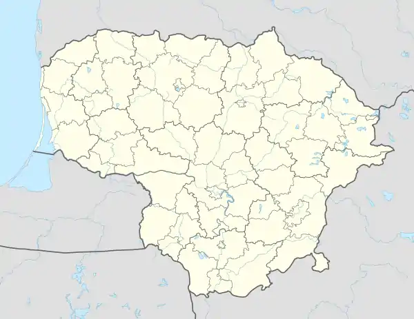 Lesčiukai Lesčiukai (Lithuania) | |
| Coordinates: 55°13′08″N 23°36′22″E / 55.21889°N 23.60611°E | |
| Country | |
| County | |
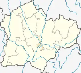
| Municipality | Kėdainiai district municipality |
| Eldership | Pernarava Eldership |
| Population (2011) | |
| • Total | 15 |
| Time zone | UTC+2 (EET) |
| • Summer (DST) | UTC+3 (EEST) |
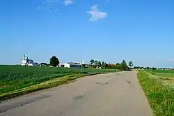
Lesčiukai is a village in Kėdainiai district municipality, in Kaunas County, in central Lithuania. According to the 2011 census, the village had a population of 15 people.[1] It is located 0.5 kilometres (0.31 mi) from Paaluonys, nearby the Aluona river and the A1 highway. There is a farm.
Lesčiukai was established in the former lands of Lesčiai folwark.
Demography
|
| |||||||||||||||||||||||||||
| Source: 1902, 1923, 1959 & 1970, 1979, 1989, 2001, 2011 | ||||||||||||||||||||||||||||
References
- ↑ "2011 census". Statistikos Departamentas (Lithuania). Retrieved August 21, 2017.
This article is issued from Wikipedia. The text is licensed under Creative Commons - Attribution - Sharealike. Additional terms may apply for the media files.