Lia | |
|---|---|
Village | |
 View of the village, seen from Hundorp | |
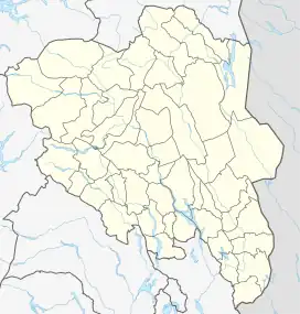 Lia Location of the village 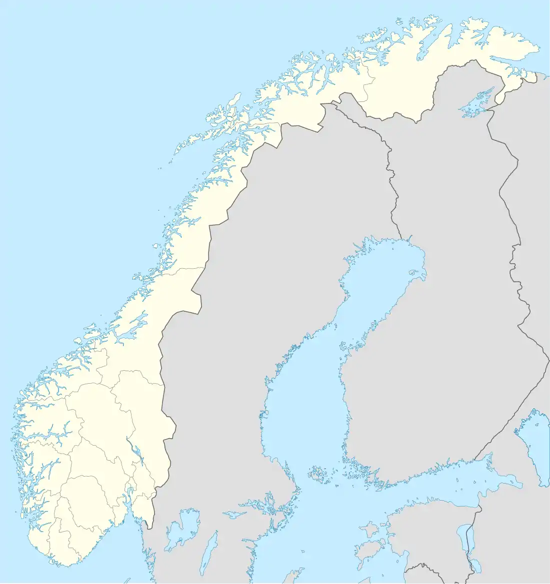 Lia Lia (Norway) | |
| Coordinates: 61°31′57″N 9°56′31″E / 61.53259°N 9.94181°E | |
| Country | Norway |
| Region | Eastern Norway |
| County | Innlandet |
| District | Gudbrandsdalen |
| Municipality | Sør-Fron Municipality |
| Area | |
| • Total | 0.42 km2 (0.16 sq mi) |
| Elevation | 445 m (1,460 ft) |
| Population (2021)[1] | |
| • Total | 277 |
| • Density | 659/km2 (1,710/sq mi) |
| Time zone | UTC+01:00 (CET) |
| • Summer (DST) | UTC+02:00 (CEST) |
| Post Code | 2647 Sør-Fron |
Lia is a village in Sør-Fron Municipality in Innlandet county, Norway. The village is located in the Gudbrandsdal valley along the south shore of the Gudbrandsdalslågen river, about 2 kilometres (1.2 mi) to the southeast of the village of Hundorp which lies on the other side of the river. The 0.42-square-kilometre (100-acre) village has a population (2021) of 277 and a population density of 659 inhabitants per square kilometre (1,710/sq mi).[1]
References
- 1 2 3 Statistisk sentralbyrå (1 January 2021). "Urban settlements. Population and area, by municipality".
- ↑ "Lia, Sør-Fron". yr.no. Retrieved 12 June 2022.
This article is issued from Wikipedia. The text is licensed under Creative Commons - Attribution - Sharealike. Additional terms may apply for the media files.