| Little Peshtigo River | |
|---|---|
  | |
| Location | |
| Country | United States |
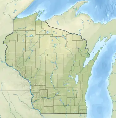
| State | Wisconsin |
| Physical characteristics | |
| Source | Montana Lake |
| • coordinates | 45°03′06″N 88°06′40″W / 45.0516522°N 88.1112132°W |
| Mouth | Peshtigo River |
• location | Town of Grover |
• coordinates | 45°07′27″N 87°53′34″W / 45.1241484°N 87.8928834°W |
• elevation | 627 ft (191 m) |
| Length | 18.0 miles (29.0 km) |
The Little Peshtigo River is an 18.0-mile-long (29.0 km)[1] river in the U.S. state of Wisconsin.[2] It is a tributary of the Peshtigo River.
The Little Peshtigo River begins at Montana Lake and flows through Coleman, Wisconsin, before converging with the Peshtigo River.[3]
See also
References
- ↑ U.S. Geological Survey. National Hydrography Dataset high-resolution flowline data. The National Map Archived 2012-03-29 at the Wayback Machine, accessed December 19, 2011
- ↑ U.S. Geological Survey Geographic Names Information System: Little Peshtigo River
- ↑ "Watershed - Little Peshtigo River". Wisconsin DNR. Retrieved 30 November 2020.
This article is issued from Wikipedia. The text is licensed under Creative Commons - Attribution - Sharealike. Additional terms may apply for the media files.