Lloret de Vistalegre | |
|---|---|
 Parish church of the Virgin of Loreto. | |
.svg.png.webp) Coat of arms | |
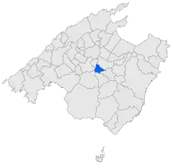 Map of Lloret de Vistalegre in Mallorca | |
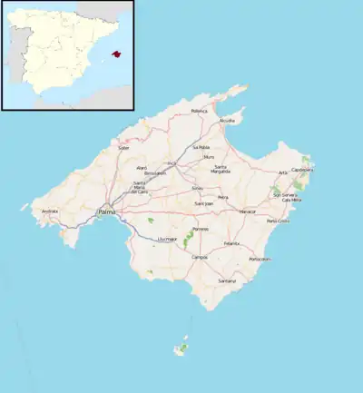 Lloret de Vistalegre Location in Majorca 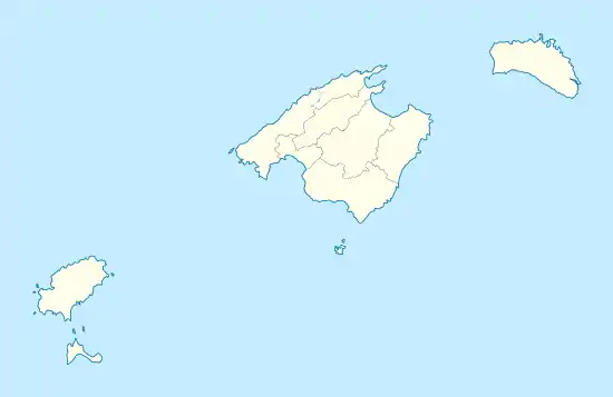 Lloret de Vistalegre Lloret de Vistalegre (Balearic Islands)  Lloret de Vistalegre Lloret de Vistalegre (Spain) | |
| Coordinates: 39°37′04″N 2°58′29″E / 39.61778°N 2.97472°E | |
| Country | Spain |
| Autonomous community | Balearic Islands |
| Province | Balearic Islands |
| Comarca | Pla de Mallorca |
| Judicial district | Inca |
| Government | |
| • Mayor | Arnau Mateu Gelabert |
| Area | |
| • Total | 17.44 km2 (6.73 sq mi) |
| Elevation | 152 m (499 ft) |
| Population (2018)[1] | |
| • Total | 1,289 |
| • Density | 74/km2 (190/sq mi) |
| Demonym | Lloritanos |
| Time zone | UTC+1 (CET) |
| • Summer (DST) | UTC+2 (CEST) |
| Postal code | 07518 |
Lloret de Vistalegre (Catalan: [ʎoˈɾəd də vistəˈleɣɾə]), also known as Llorito (Catalan: [ʎuˈɾito]), is a municipality located in the center of Majorca, one of the Balearic Islands, Spain.
The municipalities bordering Lloret de Vistalegre are: Montuïri, Sineu, Sencelles, Algaida y Sant Joan.
At the beginning of August there is a major party called "Es Sequer", which is a gastronomical celebration of the fig harvest.
The municipality activities are mainly revolved around agriculture, livestock and some rural tourism establishments.
References
- ↑ Municipal Register of Spain 2018. National Statistics Institute.
External links
- Lloret de Vistalegre tourist guide and information
- Map of Lloret de Vistalegre
- Lloret de Vistalegre official website
This article is issued from Wikipedia. The text is licensed under Creative Commons - Attribution - Sharealike. Additional terms may apply for the media files.