Lutsen | |
|---|---|
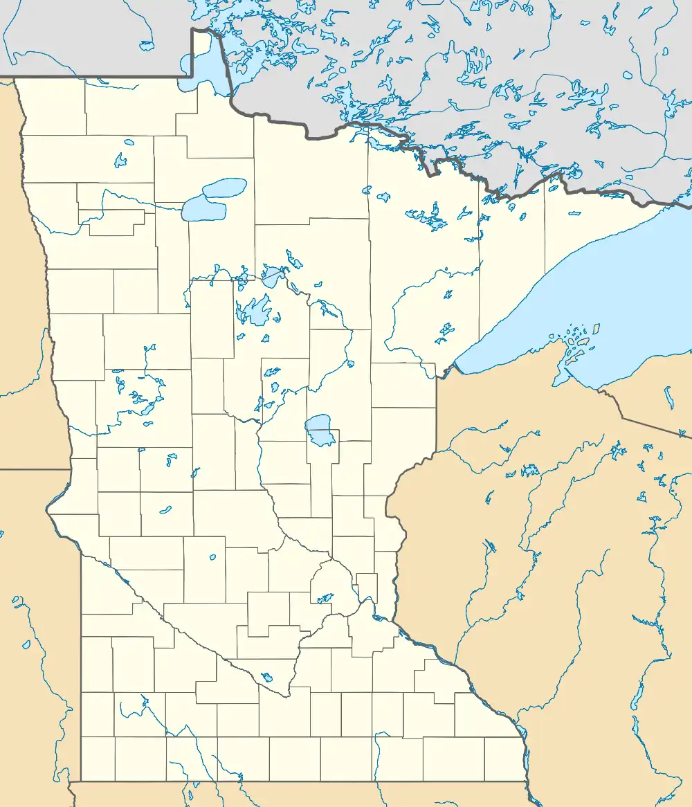 Lutsen Location of the community of Lutsen within Lutsen Township, Cook County | |
| Coordinates: 47°38′50″N 90°40′29″W / 47.64722°N 90.67472°W | |
| Country | United States |
| State | Minnesota |
| County | Cook |
| Area | |
| • Total | 10.69 sq mi (27.69 km2) |
| • Land | 10.58 sq mi (27.39 km2) |
| • Water | 0.12 sq mi (0.30 km2) |
| Elevation | 669 ft (204 m) |
| Population (2020) | |
| • Total | 220 |
| • Density | 20.80/sq mi (8.03/km2) |
| Time zone | UTC-6 (CST) |
| • Summer (DST) | UTC-5 (CDT) |
| ZIP codes | 55604, 55612 |
| Area code | 218 |
| GNIS feature ID | 657265[2] |
Lutsen (/ˈluːtsən/ LOOT-sən) is an unincorporated community and census-designated place (CDP) in Lutsen Township, Cook County, Minnesota, United States. As of the 2020 census, its population was 220.[3]
Lutsen is located within the Superior National Forest, on the North Shore of Lake Superior. It is 18 miles southwest of the city of Grand Marais; and 65 miles northeast of the city of Two Harbors. Cascade River State Park and the Superior Hiking Trail are both nearby.
Minnesota Highway 61 serves as a main route in the community.
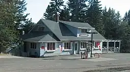
Economy
The Lutsen Mountains Ski Resort is the main economic feature of the community; and is known country-wide as being one of the northernmost ski resorts in the 48 contiguous states. The community is also home to at least four resorts.
Climate
| Climate data for Lutsen, Minnesota, 1991–2020 normals: 1300ft (396m) | |||||||||||||
|---|---|---|---|---|---|---|---|---|---|---|---|---|---|
| Month | Jan | Feb | Mar | Apr | May | Jun | Jul | Aug | Sep | Oct | Nov | Dec | Year |
| Mean daily maximum °F (°C) | 17.0 (−8.3) |
21.2 (−6.0) |
32.6 (0.3) |
44.3 (6.8) |
58.4 (14.7) |
66.3 (19.1) |
72.9 (22.7) |
70.8 (21.6) |
62.3 (16.8) |
49.0 (9.4) |
34.4 (1.3) |
22.3 (−5.4) |
46.0 (7.8) |
| Daily mean °F (°C) | 6.9 (−13.9) |
10.3 (−12.1) |
21.8 (−5.7) |
34.4 (1.3) |
48.2 (9.0) |
57.4 (14.1) |
63.5 (17.5) |
61.6 (16.4) |
53.4 (11.9) |
40.8 (4.9) |
27.1 (−2.7) |
14.8 (−9.6) |
36.7 (2.6) |
| Mean daily minimum °F (°C) | −3.2 (−19.6) |
−0.6 (−18.1) |
11.0 (−11.7) |
24.4 (−4.2) |
38.1 (3.4) |
48.5 (9.2) |
54.1 (12.3) |
52.3 (11.3) |
44.4 (6.9) |
32.6 (0.3) |
19.9 (−6.7) |
7.4 (−13.7) |
27.4 (−2.6) |
| Average precipitation inches (mm) | 1.39 (35) |
0.87 (22) |
1.55 (39) |
3.06 (78) |
3.27 (83) |
3.77 (96) |
3.61 (92) |
3.77 (96) |
3.89 (99) |
3.88 (99) |
2.62 (67) |
1.89 (48) |
33.57 (854) |
| Average snowfall inches (cm) | 27.1 (69) |
13.7 (35) |
9.2 (23) |
3.8 (9.7) |
0.4 (1.0) |
0.0 (0.0) |
0.0 (0.0) |
0.0 (0.0) |
trace | 1.8 (4.6) |
14.2 (36) |
17.4 (44) |
87.6 (222.3) |
| Source 1: NOAA (1981-2010 precipitation)[4][5] | |||||||||||||
| Source 2: XMACIS (1991-2005 snowfall)[6] | |||||||||||||
Demographics
| Census | Pop. | Note | %± |
|---|---|---|---|
| 2010 | 190 | — | |
| 2020 | 220 | 15.8% | |
| U.S. Decennial Census[7] 2020 Census[3] | |||
Education
All of the county is zoned to Cook County ISD 166.[8]
References
- ↑ "2020 U.S. Gazetteer Files". United States Census Bureau. Retrieved July 24, 2022.
- ↑ "Lutsen". Geographic Names Information System. United States Geological Survey, United States Department of the Interior.
- 1 2 "Explore Census Data". Explore Census Data. United States Census Bureau. Retrieved June 12, 2022.
- ↑ "Lusten 3NNE, Minnesota 1991-2020 Monthly Normals". Retrieved October 31, 2023.
- ↑ "Lusten 3NNE, Minnesota 1981-2010 Monthly Normals". Retrieved December 22, 2023.
- ↑ "xmACIS". National Oceanic and Atmospheric Administration. Retrieved December 22, 2023.
- ↑ United States Census Bureau. "Census of Population and Housing". Retrieved July 21, 2013.
- ↑ "2020 CENSUS - SCHOOL DISTRICT REFERENCE MAP: Cook County, MN" (PDF). United States Census Bureau. Retrieved August 12, 2021.
Municipalities and communities of Cook County, Minnesota, United States | ||
|---|---|---|
| City | 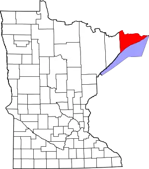 Map of Minnesota highlighting Cook County | |
| Townships | ||
| Unorganized territories | ||
| CDP | ||
| Unincorporated communities | ||
| Indian reservation | ||
| Ghost towns | ||