| Møsnuken | |
|---|---|
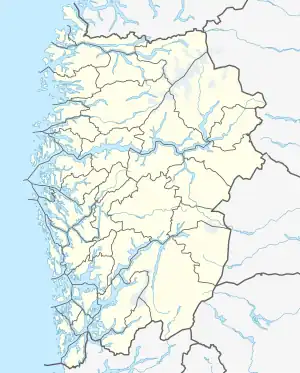 Møsnuken Location of the mountain 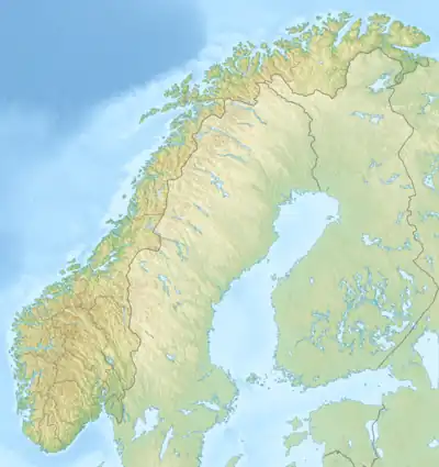 Møsnuken Møsnuken (Norway) | |
| Highest point | |
| Elevation | 639 m (2,096 ft)[1] |
| Prominence | 451 m (1,480 ft) |
| Coordinates | 60°13′59″N 5°31′12″E / 60.2331°N 5.5200°E[2] |
| Geography | |
| Location | Vestland, Norway |
| Climbing | |
| Easiest route | Hiking |
Møsnuken is a mountain in Bjørnafjorden Municipality in Vestland county, Norway. The 639-metre (2,096 ft) mountain lies about 3.5 kilometres (2.2 mi) east of the village of Søfteland.
See also
References
- ↑ Turløyper i Bergensområdet (October 2007). "Tre turer i Møsnuken" (in Norwegian). Bergens Tidende. Retrieved 2008-08-06.
- ↑ "Møsnuken, Bjørnafjorden (Vestland)" (in Norwegian). yr.no. Retrieved 2020-03-01.
This article is issued from Wikipedia. The text is licensed under Creative Commons - Attribution - Sharealike. Additional terms may apply for the media files.