Maboga
Kata ya Maboga | |
|---|---|
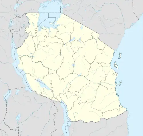 Maboga Location of Maboga | |
| Coordinates: 7°58′05″S 35°15′58″E / 7.968°S 35.266°E | |
| Country | |
| Region | Iringa Region |
| District | Iringa Rural District |
| Ward | Maboga |
| Population | |
| • Total | 8,739 |
| Time zone | UTC+3 (EAT) |
| Postcode[2] | 51213 |
Maboga is an administrative ward in the Iringa Rural District of the Iringa Region of Tanzania. Maboga ward consist of 3 villages kiponzero, Magunga and Makongati.
In 2016 the Tanzania National Bureau of Statistics report there were 8,739 people in the ward, from 12,642 in 2012.[1]: 89 [3]: 105
Villages / vitongoji
The ward has 3 villages and 26 vitongoji.[2]
- Magunga
- Ihami
- Lugailo
- Mgogondele A
- Mgogondele B
- Minyala
- Nguvukazi
- Makongati
- Ikondo
- Ilalasimba
- Ilembula
- Kibaoni
- Lukali
- Lunguya
- Lutemi
- Luwinda
- Msasani
- Kiponzelo
- Gendawuye
- Kanisani
- Lumumba
- Madukani
- Mjimwema
- Mkwawa
- Msalasi
- Msombe
- Ngongwa
- Shuleni
- Siyovelwa
References
- 1 2 2016 Makadirio ya Idadi ya Watu katika Majimbo ya Uchaguzi kwa Mwaka 2016, Tanzania Bara [Population Estimates in Administrative Areas for the Year 2016, Mainland Tanzania] (PDF) (Report) (in Swahili). Dar es Salaam, Tanzania: National Bureau of Statistics. 1 April 2016. Archived (PDF) from the original on 27 December 2021. Retrieved 3 July 2022.
- 1 2 "Iringa Postcodes" (PDF). Tanzania Communications Regulatory Authority. Archived (PDF) from the original on 29 July 2022. Retrieved 17 August 2022.
- ↑ 2012 Population and Housing Census - Population Distribution by Administrative Areas (PDF) (Report). Dar es Salaam, Tanzania: National Bureau of Statistics. 1 March 2013. Archived (PDF) from the original on 26 March 2022. Retrieved 3 July 2022.
This article is issued from Wikipedia. The text is licensed under Creative Commons - Attribution - Sharealike. Additional terms may apply for the media files.