Mamkheg
Мамхег Мамхыгъ | |
|---|---|
Aul | |
 Mamkheg 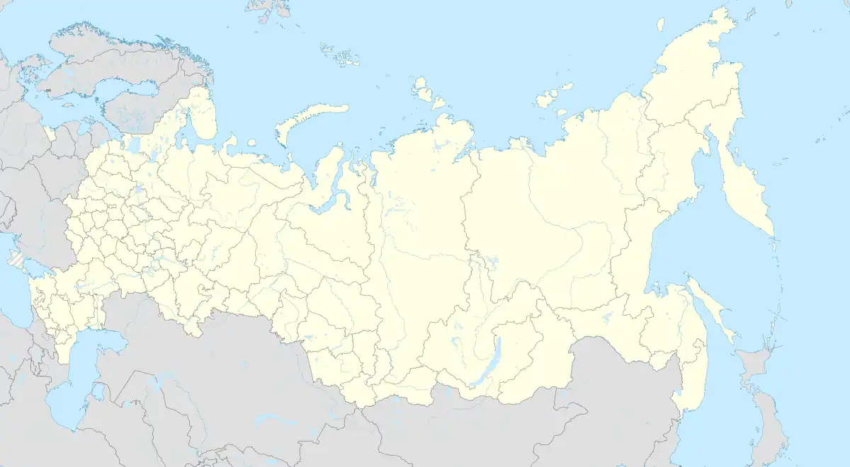 Mamkheg | |
| Coordinates: 45°00′N 40°13′E / 45.000°N 40.217°E[1] | |
| Country | Russia |
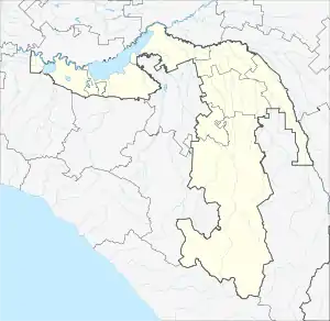
| Region | Adygea |
| District | Shovgenovsky District |
| Time zone | UTC+3:00 |
Mamkheg (Russian: Мамхег; Adyghe: Мамхыгъ) is a rural locality (an aul) and the administrative center of Mamkhegskoye Rural Settlement of Shovgenovsky District, the Republic of Adygea, Russia. The population was 1985 as of 2018.[2] There are 24 streets.
Geography
Mamkheg is located on the bank of the Fars River, 3 km (1.9 mi) southwest of Khakurinokhabl (the district's administrative centre) by road. Khakurinokhabl is the nearest rural locality.[3]
Ethnicity
The aul is inhabited by Circassians of the Mamkhegh tribe, after whom the village is named.
References
- ↑ "Карта аула Мамхег в Адыгее с улицами и номерами домов". MapData.ru. Retrieved 2018-09-21.
- ↑ "Численность постоянного населения по МО и населенным пунктам Республики Адыгея по состоянию на 1 января 2018 года". krsdstat.gks.ru. Archived from the original on 2018-08-01. Retrieved 2018-09-17.
- ↑ Расстояние от Мамхега до Хакуринохабля
This article is issued from Wikipedia. The text is licensed under Creative Commons - Attribution - Sharealike. Additional terms may apply for the media files.