Manannah | |
|---|---|
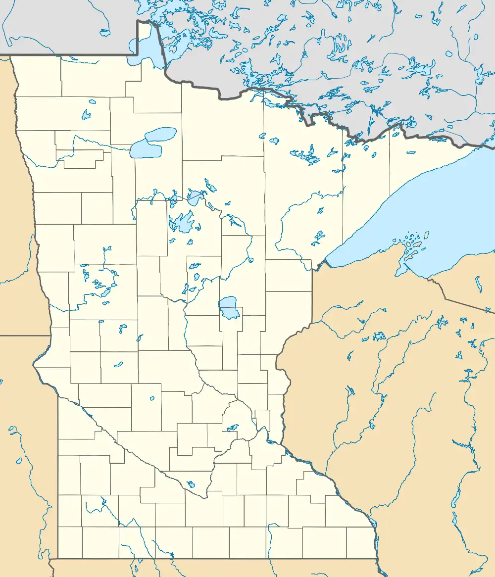 Manannah Location of the community of Manannah within Manannah Township, Meeker County  Manannah Manannah (the United States) | |
| Coordinates: 45°15′13″N 94°37′03″W / 45.25361°N 94.61750°W | |
| Country | United States |
| State | Minnesota |
| County | Meeker |
| Township | Manannah Township |
| Elevation | 1,155 ft (352 m) |
| Time zone | UTC-6 (Central (CST)) |
| • Summer (DST) | UTC-5 (CDT) |
| ZIP code | 55329 and 56243 |
| Area code | 320 |
| GNIS feature ID | 647430[1] |
Manannah is an unincorporated community in Manannah Township, Meeker County, Minnesota, United States.[1] The community is located near the junction of Meeker County Roads 3 and 30. Nearby places include Eden Valley, Grove City, Paynesville, and Litchfield. State Highways 4 (MN 4) and 22 (MN 22) are also in the immediate area.
History
| Census | Pop. | Note | %± |
|---|---|---|---|
| 1880 | 114 | — | |
| U.S. Decennial Census[2] | |||
Manannah was platted in 1856, and again in 1871, and supposedly named after a place in Scotland.[3] A post office was established at Manannah in 1857, and remained in operation until 1907.[4]
References
- 1 2 3 U.S. Geological Survey Geographic Names Information System: Manannah, Minnesota
- ↑ United States Census Bureau. "Census of Population and Housing".
- ↑ Upham, Warren (1920). Minnesota Geographic Names: Their Origin and Historic Significance. Minnesota Historical Society. p. 340.
- ↑ "Meeker County". Jim Forte Postal History. Retrieved July 21, 2015.
Municipalities and communities of Meeker County, Minnesota, United States | ||
|---|---|---|
| Cities | 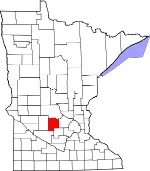 Map of Minnesota highlighting Meeker County | |
| Townships | ||
| Unincorporated communities | ||
| Footnotes | ‡This populated place also has portions in an adjacent county or counties | |
This article is issued from Wikipedia. The text is licensed under Creative Commons - Attribution - Sharealike. Additional terms may apply for the media files.