Manokin, Maryland | |
|---|---|
 Manokin | |
| Coordinates: 38°06′55″N 75°45′21″W / 38.11528°N 75.75583°W | |
| Country | |
| State | |
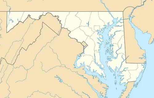
| County | |
| Elevation | 2 m (7 ft) |
| Time zone | UTC-5 (Eastern (EST)) |
| • Summer (DST) | UTC-4 (EDT) |
| ZIP Code | 21836 |
| Area code(s) | 410, 443, and 667 |
| GNIS feature ID | 590728[1] |
Manokin is an unincorporated community in Somerset County, Maryland, United States.[1] It is located on Maryland Route 361 at the intersection of River Road. The George Maddox Farm, Sudler's Conclusion and Waters' River are listed on the National Register of Historic Places.[2]
See also
References
Municipalities and communities of Somerset County, Maryland, United States | ||
|---|---|---|
| City | 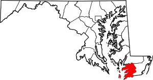 | |
| Town | ||
| CDPs | ||
| Other communities | ||
This article is issued from Wikipedia. The text is licensed under Creative Commons - Attribution - Sharealike. Additional terms may apply for the media files.