Manpur
raja Mansingh ki nagri | |
|---|---|
city | |
 Manpur Location in Madhya Pradesh, India 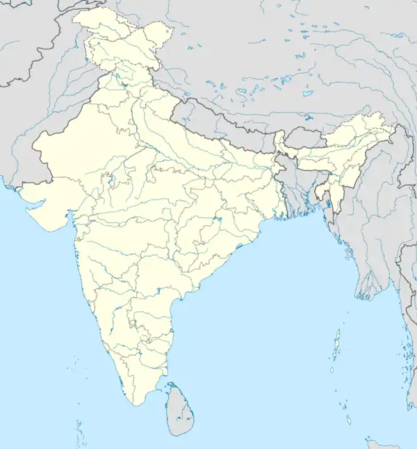 Manpur Manpur (India) | |
| Coordinates: 22°26′N 75°37′E / 22.43°N 75.62°E | |
| Country | |
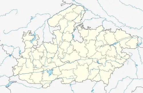
| State | Madhya Pradesh |
| District | Indore |
| Founded by | Raja Mansingh |
| Elevation | 567 m (1,860 ft) |
| Population (2011) | |
| • Total | 9,200 |
| Languages | |
| • Official | Hindi |
| Time zone | UTC+5:30 (IST) |
| ISO 3166 code | IN-MP |
| Vehicle registration | MP |
Manpur is a town and a nagar panchayat in Mhow Tehsil of Indore district in the Indian state of Madhya Pradesh.
Geography
Manpur is located at 22°26′N 75°37′E / 22.43°N 75.62°E.[1] It has an average elevation of 567 metres (1860 feet).
Demographics
As of 2001 India census,[2] Manpur had a population of 10175. Males constitute 53% of the population and females 47%. Manpur has an average literacy rate of 66%, higher than the national average of 59.5%: male literacy is 74%, and female literacy is 56%. In Manpur, 15% of the population is under 6 years of age.places like vidhyavasini mandir, shitalamata fall and wanchoo point are famous for natural sightseeing.
See also
[[[3] Navodaya vidyalaya indore|Jawahar Navodaya Vidyalaya,Indore[4]]]
References
- ↑ Falling Rain Genomics, Inc - Manpur
- ↑ "Census of India 2001: Data from the 2001 Census, including cities, villages and towns (Provisional)". Census Commission of India. Archived from the original on 16 June 2004. Retrieved 1 November 2008.
- ↑ Unique Higher Secondary School,Manpur
- ↑ Patidar Coaching Classes Shani Gali Manpur
This article is issued from Wikipedia. The text is licensed under Creative Commons - Attribution - Sharealike. Additional terms may apply for the media files.