| Manthorpe | |
|---|---|
 | |
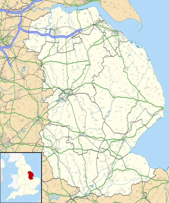 Manthorpe Location within Lincolnshire | |
| OS grid reference | TF070160 |
| • London | 85 mi (137 km) S |
| Civil parish | |
| District | |
| Shire county | |
| Region | |
| Country | England |
| Sovereign state | United Kingdom |
| Post town | Bourne |
| Postcode district | NG31 |
| Police | Lincolnshire |
| Fire | Lincolnshire |
| Ambulance | East Midlands |
| UK Parliament | |
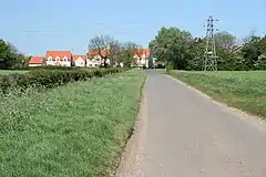
Manthorpe is a village in the civil parish of Toft with Lound and Manthorpe, in the South Kesteven district of Lincolnshire, England. It lies 0.5 miles (0.8 km) east from the A6121, 3 miles (5 km) south-west from Bourne and 6 miles (10 km) north-east from Stamford. Manthorpe was formerly in the parish of Witham on-the-Hill,[1] in 1866 Manthorpe became a separate civil parish,[2] on 1 April 1931 the parish was abolished to form "Toft with Lound and Manthorpe".[3] In 1921 the parish had a population of 74.[4]
At the western side of the village runs the East Glen River.
At Bowthorpe Park Farm is the Bowthorpe Oak, with the largest girth in the UK. The tree has a circumference of about 44 feet (13 metres).[5]
References
- ↑ "History of Manthorpe, in South Kesteven and Lincolnshire". A Vision of Britain through Time. Retrieved 10 January 2024.
- ↑ "Relationships and changes Manthorpe CP/Hmlt through time". A Vision of Britain through Time. Retrieved 10 January 2024.
- ↑ "Bourne Registration District". UKBMD. Retrieved 10 January 2024.
- ↑ "Population statistics Manthorpe CP/Hmlt through time". A Vision of Britain through Time. Retrieved 10 January 2024.
- ↑ "Bowthorpe Oak: Future of Lincolnshire's huge 1,000-year-old tree secured". BBC News. 11 March 2022. Retrieved 29 December 2022.
External links
 Media related to Manthorpe, Bourne at Wikimedia Commons
- "The Bowthorpe Oak", Homepages.which.net
This article is issued from Wikipedia. The text is licensed under Creative Commons - Attribution - Sharealike. Additional terms may apply for the media files.