Manzanares, Caldas | |
|---|---|
Municipality and town | |
 Flag .svg.png.webp) Seal | |
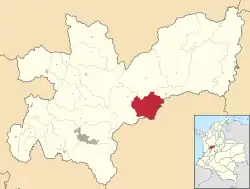 Location of the municipality and town of Manzanares, Caldas in the Caldas Department of Colombia. | |
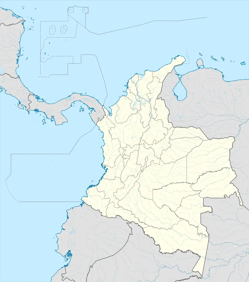 Manzanares, Caldas Location in Colombia | |
| Coordinates: 5°15′7″N 75°9′25″W / 5.25194°N 75.15694°W | |
| Country | |
| Department | |
| Elevation | 1,871 m (6,138 ft) |
| Population (Census 2018[1]) | |
| • Total | 16,532 |
| Time zone | UTC-5 (Colombia Standard Time) |
Manzanares (Spanish pronunciation: [mansaˈnaɾes]) is a town and municipality in the Colombian Department of Caldas.
Climate
Manzanares has a subtropical highland climate (Köppen Cfb). It has warm afternoons, pleasant mornings, and heavy rainfall year-round.
| Climate data for Manzanares | |||||||||||||
|---|---|---|---|---|---|---|---|---|---|---|---|---|---|
| Month | Jan | Feb | Mar | Apr | May | Jun | Jul | Aug | Sep | Oct | Nov | Dec | Year |
| Mean daily maximum °C (°F) | 22.2 (72.0) |
22.5 (72.5) |
22.5 (72.5) |
21.5 (70.7) |
21.7 (71.1) |
21.9 (71.4) |
22.5 (72.5) |
22.3 (72.1) |
22.1 (71.8) |
21.2 (70.2) |
21.1 (70.0) |
21.6 (70.9) |
21.9 (71.5) |
| Daily mean °C (°F) | 17.6 (63.7) |
18.0 (64.4) |
18.2 (64.8) |
17.6 (63.7) |
17.9 (64.2) |
17.8 (64.0) |
17.9 (64.2) |
17.8 (64.0) |
17.7 (63.9) |
17.2 (63.0) |
17.1 (62.8) |
17.3 (63.1) |
17.7 (63.8) |
| Mean daily minimum °C (°F) | 13.1 (55.6) |
13.5 (56.3) |
13.9 (57.0) |
13.7 (56.7) |
14.2 (57.6) |
13.8 (56.8) |
13.3 (55.9) |
13.4 (56.1) |
13.3 (55.9) |
13.3 (55.9) |
13.2 (55.8) |
13.1 (55.6) |
13.5 (56.3) |
| Average rainfall mm (inches) | 185.5 (7.30) |
237.6 (9.35) |
318.6 (12.54) |
358.9 (14.13) |
358.7 (14.12) |
177.7 (7.00) |
131.2 (5.17) |
188.5 (7.42) |
287.5 (11.32) |
373.3 (14.70) |
361.4 (14.23) |
260.2 (10.24) |
3,239.1 (127.52) |
| Average rainy days (≥ 1 mm) | 18 | 19 | 22 | 24 | 23 | 16 | 13 | 15 | 20 | 24 | 23 | 20 | 237 |
| Source 1: source 1 = Instituto de Hidrologia Meteorologia y Estudios Ambientales[2] | |||||||||||||
| Source 2: [3] | |||||||||||||
References
- ↑ "Censo Nacional de Población y Vivienda 2018" (in Spanish). DANE. Retrieved 23 April 2020.
- ↑ "Promedios Climatológicos 1981-2010" (in Spanish). Instituto de Hidrologia Meteorologia y Estudios Ambientales. Archived from the original on 15 August 2016. Retrieved 24 December 2021.
- ↑ "Climate Manzanares". Climate.Data.org.
Capital: Manizales | |||||||||||||
| Districts and municipalities |
| ||||||||||||
This article is issued from Wikipedia. The text is licensed under Creative Commons - Attribution - Sharealike. Additional terms may apply for the media files.