| McClellan Creek | |
|---|---|
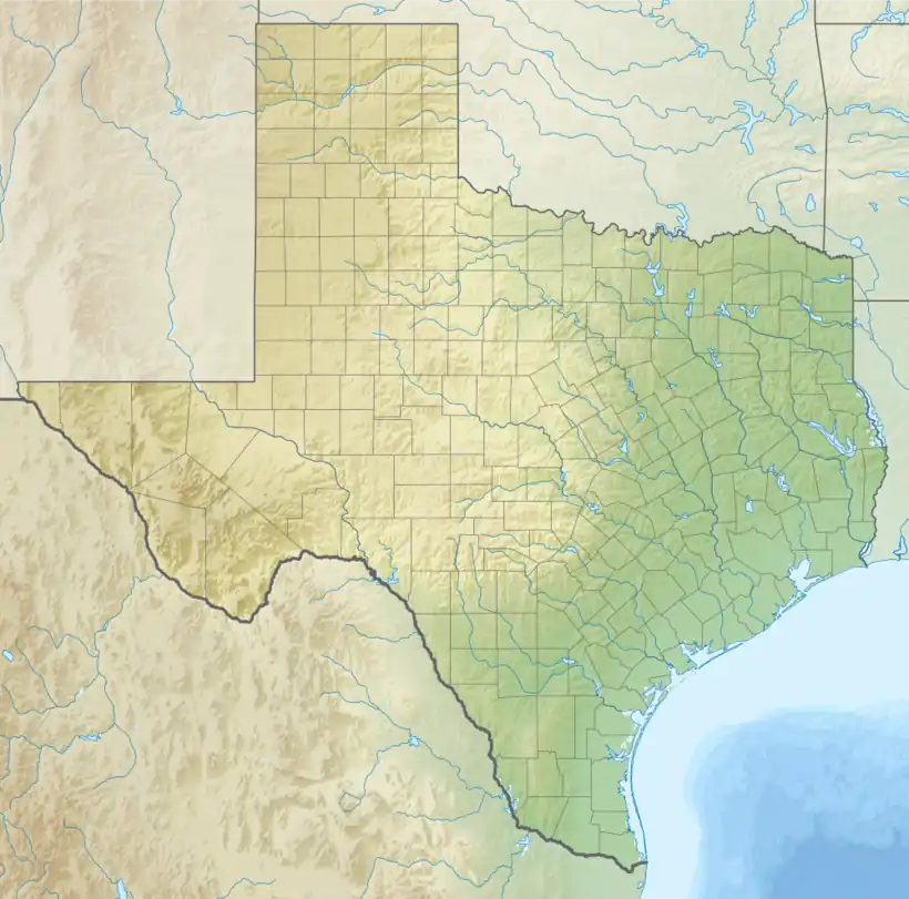 Location of mouth | |
| Location | |
| Country | United States |
| Physical characteristics | |
| Source | |
| • location | Texas |
| Mouth | |
• location | North Fork Red River[1] |
• elevation | 2,474 ft (754 m) |
| Length | 30 mi (48 km)[1] |
McClellan Creek is a river in Texas. Named after George B. McClellan, who with his future father-in-law, Randolph B. Marcy, made a survey of the area in 1851–52, looking for a route for the Southern Pacific Railroad.[2]
See also
References
- 1 2 "McClellan Creek". Handbook of Texas Online. Texas State Historical Association. Retrieved December 15, 2013.
- ↑ Carter, R.G., 1935, On the Border with Mackenzie, Washington D.C.: Eynon Printing Co.
- "An Analysis of Texas Waterways". Retrieved 2006-05-04.
- "McClellan Creek". Geographic Names Information System. United States Geological Survey, United States Department of the Interior. Retrieved December 15, 2013.
- USGS Hydrologic Unit Map - State of Texas (1974)
35°22′25″N 100°33′35″W / 35.37361°N 100.55972°W
This article is issued from Wikipedia. The text is licensed under Creative Commons - Attribution - Sharealike. Additional terms may apply for the media files.