Meer | |
|---|---|
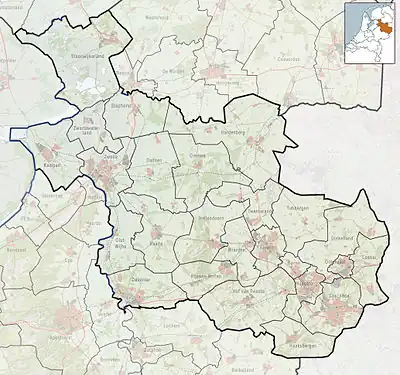 Meer Location in the Netherlands 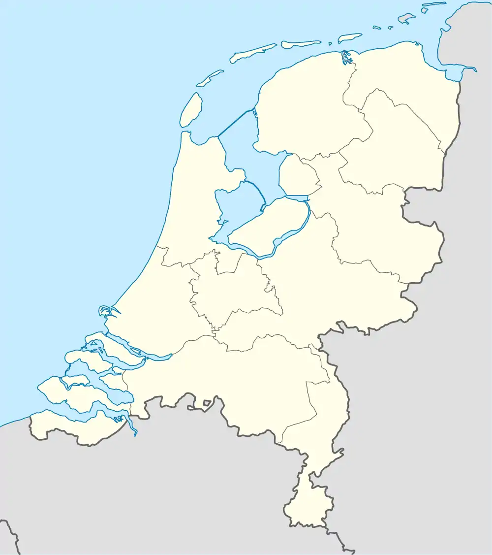 Meer Meer (Netherlands) | |
| Coordinates: 52°27′42″N 6°27′40″E / 52.46167°N 6.46111°E | |
| Country | Netherlands |
| Province | Overijssel |
| Municipality | Twenterand |
| Area | |
| • Total | 6.95 km2 (2.68 sq mi) |
| Elevation | 7 m (23 ft) |
| Population (2021)[1] | |
| • Total | 385 |
| • Density | 55/km2 (140/sq mi) |
| Time zone | UTC+1 (CET) |
| • Summer (DST) | UTC+2 (CEST) |
| Postal code | 7683[1] |
| Dialing code | 0546 |
Meer [mɪːr] is a hamlet in the Dutch province of Overijssel. It is located in the municipality of Twenterand, about 2 km west of the town of Den Ham.[3]
Meer is a statistical entity,[1] but the postal authorities have placed it under Den Ham.[4] It was first mentioned in 1333 as Mederen. In 1840, it was home to 242 people.[5]
References
- 1 2 3 4 "Kerncijfers wijken en buurten 2021". Central Bureau of Statistics. Retrieved 18 March 2022.
- ↑ "Postcodetool for 7683AA". Actueel Hoogtebestand Nederland (in Dutch). Het Waterschapshuis. Retrieved 18 March 2022.
- ↑ ANWB Topografische Atlas Nederland, Topografische Dienst and ANWB, 2005.
- ↑ "Postcode 7683 in Den Ham". Postcode bij adres (in Dutch). Retrieved 18 March 2022.
- ↑ "Meer en Noord-Meer". Plaatsengids (in Dutch). Retrieved 18 March 2022.
This article is issued from Wikipedia. The text is licensed under Creative Commons - Attribution - Sharealike. Additional terms may apply for the media files.