Mintong[1] | |
|---|---|
Village | |
| Coordinates: 26°47′55″N 95°18′11″E / 26.7987°N 95.30306°E | |
| Country |  India India |
| State | Arunachal Pradesh |
| District | Tirap |
| District | Tirap |
| Population (2011) | |
| • Total | 1,505 |
| Languages | |
| • Official | Wancho |
| Time zone | UTC+5:30 (IST) |
| Postal code | 786631 |
| STD Code | 03786 |
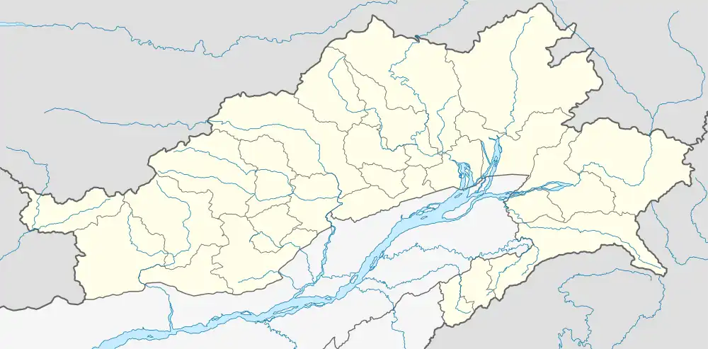

Mintong is a village and Gram Panchayat (GP) in Longding circle of Tirap district in Arunachal Pradesh, India. As per 2011 Census of India, Mintong has a total population of 1,505 peoples, including 730 males and 775 females.[7]
Mington has plantation of tea, coffee, cardamom, bamboo etc. for the economic development.[8]
References
- ↑ "Mintong Village". MapsofIndia. Retrieved 12 July 2022.
- "Mintong Village". MapsofIndia. Retrieved 12 July 2022.
- ↑ "Mintong Village". MapsofIndia. Retrieved 12 July 2022.
- "Mintong Village". MapsofIndia. Retrieved 12 July 2022.
- ↑ "Mintong Village". MapsofIndia. Retrieved 12 July 2022.
- ↑ "Mintong Village". MapsofIndia. Retrieved 12 July 2022.
- ↑ "Mintong Population (2021/2022), Village in Longding Subdivision". IndiaGrowing. Retrieved 12 July 2022.
- ↑ Sachchidananda (1989). Shifting cultivation in India. New Delhi: Concept Pub. Co. p. 105. ISBN 978-817-0220-404.
This article is issued from Wikipedia. The text is licensed under Creative Commons - Attribution - Sharealike. Additional terms may apply for the media files.