Modjadji Head Kraal | |
|---|---|
.jpg.webp) | |
 Modjadji Head Kraal 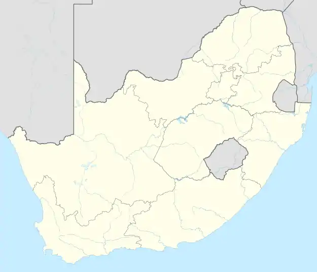 Modjadji Head Kraal | |
| Coordinates: 23°37′36″S 30°20′51″E / 23.62667°S 30.34750°E | |
| Country | South Africa |
| Province | Limpopo |
| District | Mopani |
| Municipality | Greater Letaba |
| Area | |
| • Total | 3.25 km2 (1.25 sq mi) |
| Population (2011)[1] | |
| • Total | 1,745 |
| • Density | 540/km2 (1,400/sq mi) |
| Racial makeup (2011) | |
| • Black African | 99.9% |
| • Coloured | 0.1% |
| • Other | 0.1% |
| First languages (2011) | |
| • Northern Sotho | 64.8% |
| • Sotho | 30.7% |
| • Afrikaans | 2.4% |
| • Other | 2.2% |
| Time zone | UTC+2 (SAST) |
| Area code | 015 |
Modjadji Head Kraal is a village situated at the foot of the escarpment in the Limpopo province of South Africa.
References
- 1 2 3 4 "Main Place Modjadji Head Kraal". Census 2011.
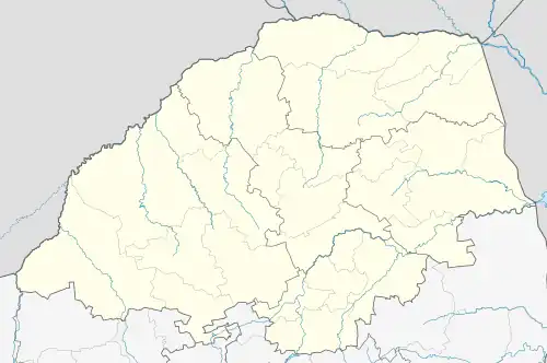
Municipalities and communities of Mopani District Municipality, Limpopo | ||
|---|---|---|
District seat: Giyani | ||
| Ba-Phalaborwa | .svg.png.webp) | |
| Greater Giyani | ||
| Greater Letaba | ||
| Greater Tzaneen | ||
| Maruleng | ||
This article is issued from Wikipedia. The text is licensed under Creative Commons - Attribution - Sharealike. Additional terms may apply for the media files.