Monson | |
|---|---|
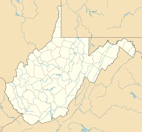 Monson Location within West Virginia  Monson Monson (the United States) | |
| Coordinates: 37°15′54″N 81°28′58″W / 37.26500°N 81.48278°W | |
| Country | United States |
| State | West Virginia |
| County | McDowell |
| Elevation | 1,965 ft (599 m) |
| Time zone | UTC-5 (Eastern (EST)) |
| • Summer (DST) | UTC-4 (EDT) |
| Area code(s) | 304 & 681 |
| GNIS feature ID | 1543502[1] |
Monson is an unincorporated community in McDowell County, West Virginia, United States. Monson is located along West Virginia Route 161, 5.5 miles (8.9 km) south-southwest of Anawalt.[2]
References
- ↑ U.S. Geological Survey Geographic Names Information System: Monson, West Virginia
- ↑ McDowell County, West Virginia General Highway Map (PDF) (Map). West Virginia Department of Transportation. 2008. § 4. Retrieved February 25, 2011.
Municipalities and communities of McDowell County, West Virginia, United States | ||
|---|---|---|
| Cities | 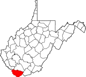 Map of West Virginia highlighting McDowell County | |
| Towns | ||
| CDPs | ||
| Unincorporated communities |
| |
| Ghost town | ||
| Footnotes | ‡This populated place also has portions in an adjacent county or counties | |
This article is issued from Wikipedia. The text is licensed under Creative Commons - Attribution - Sharealike. Additional terms may apply for the media files.